


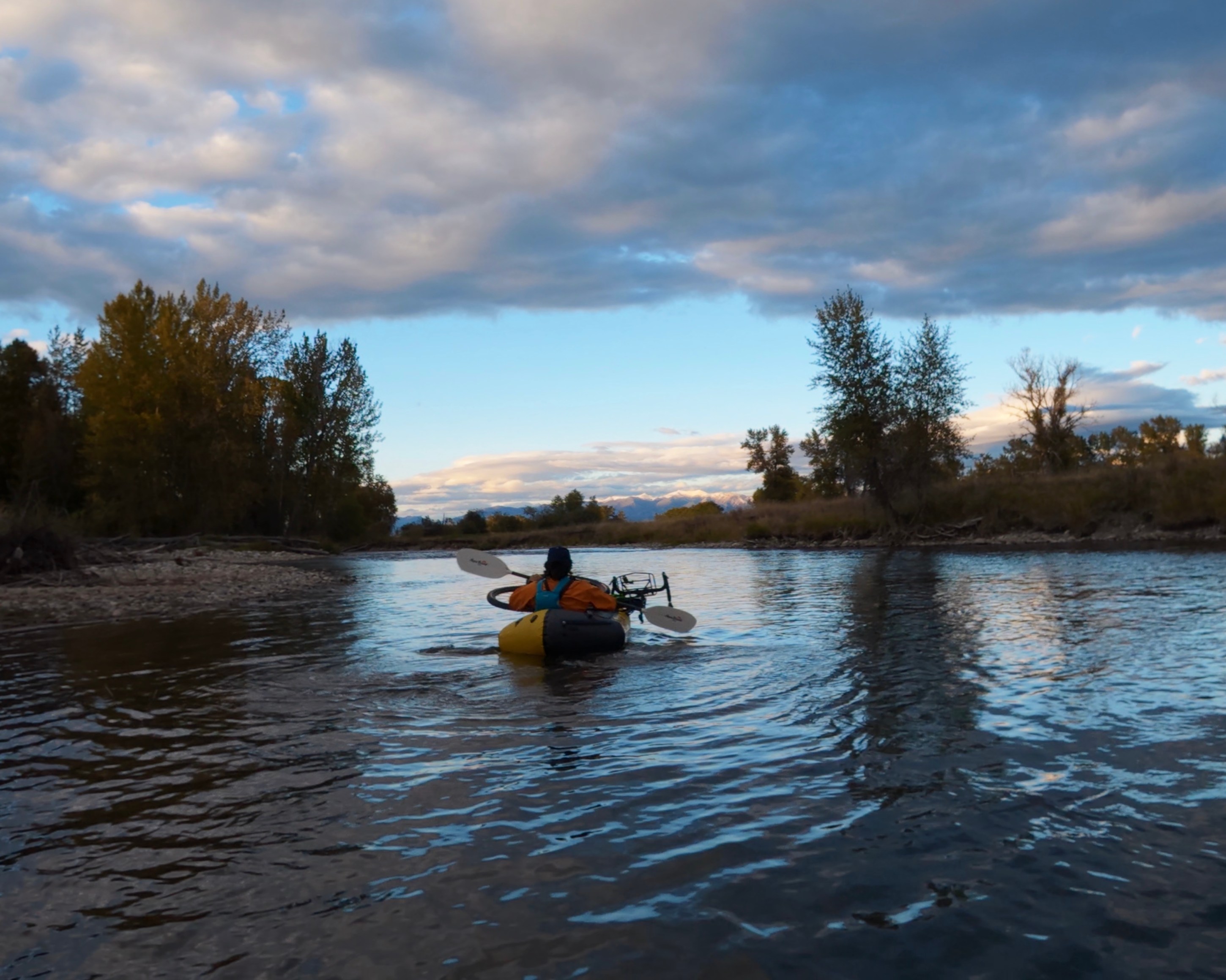
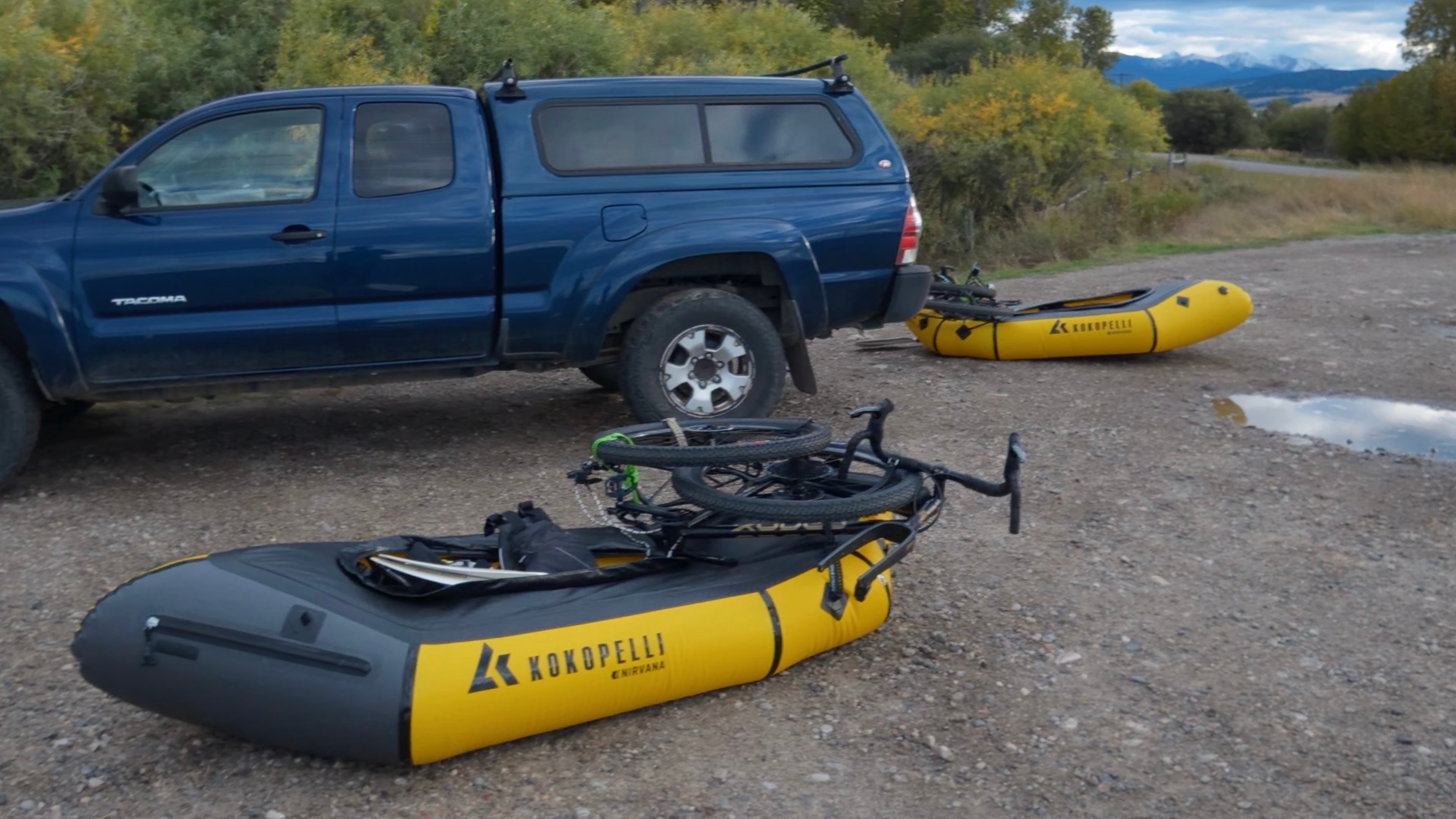
Tomorrow, my buddy Carter and I are setting off on a bikerafting traverse from Canada to Mexico, roughly 400 miles by raft and 2,500 by bike. At each river, we strap the bikes to the top of the packrafts and float downstream, then deflate the rafts, strap them to the bikes, and ride away from the takeout. The route links four rivers using sections the GDMBT, the Golden Gravel Trail, and a mix of other established bikepacking routes. It starts on the North Fork of the Flathead in Glacier National Park and ends at the US–Mexico border.
When I first tell friends, family, or other bikers (Rodeo Labs included) about this trip, the reactions are usually some mix of excitement, admiring disbelief (“wait, how does a bike go on a raft?”), and fair skepticism (“that’s gonna be hard.”) Honestly, they’re all right. This trip is going to be hard, and fun, and a little ridiculous, and as far as we can tell, nobody’s done it before. Starting tomorrow, we get to spend the next two months finding out for ourselves.
When I’m not trying to figure out how to strap a bike to a boat, I’m a geospatial wildfire scientist and a cartographer. I had a lot of fun dreaming up this route, pulling GPX tracks and shapefiles from Bikepacking.com, American Whitewater, and OpenStreetMap, and laying rivers and trail corridors on top of each other until I found the places where they lined up. But a static route doesn’t really tell you what it feels like to ride it, so I built a map that scrolls through the rivers and roads we’ll be following. I’ve built live tracking into the map too, so once we set off you can watch our actual progress from Canada to Mexico.
Gear
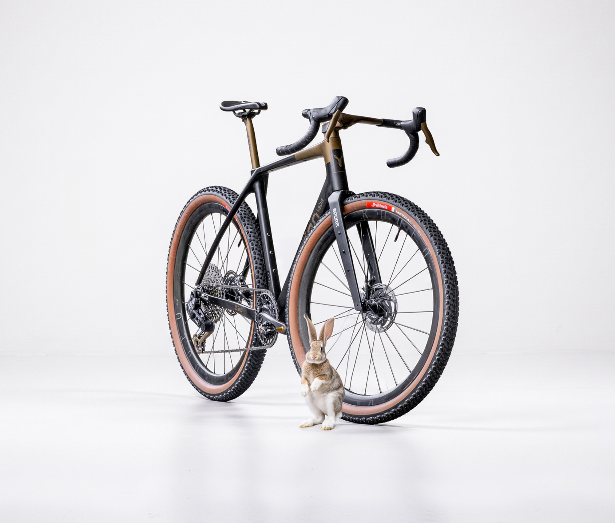
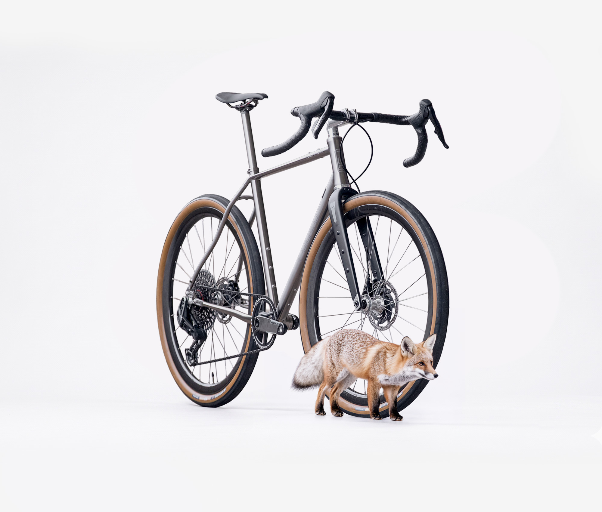
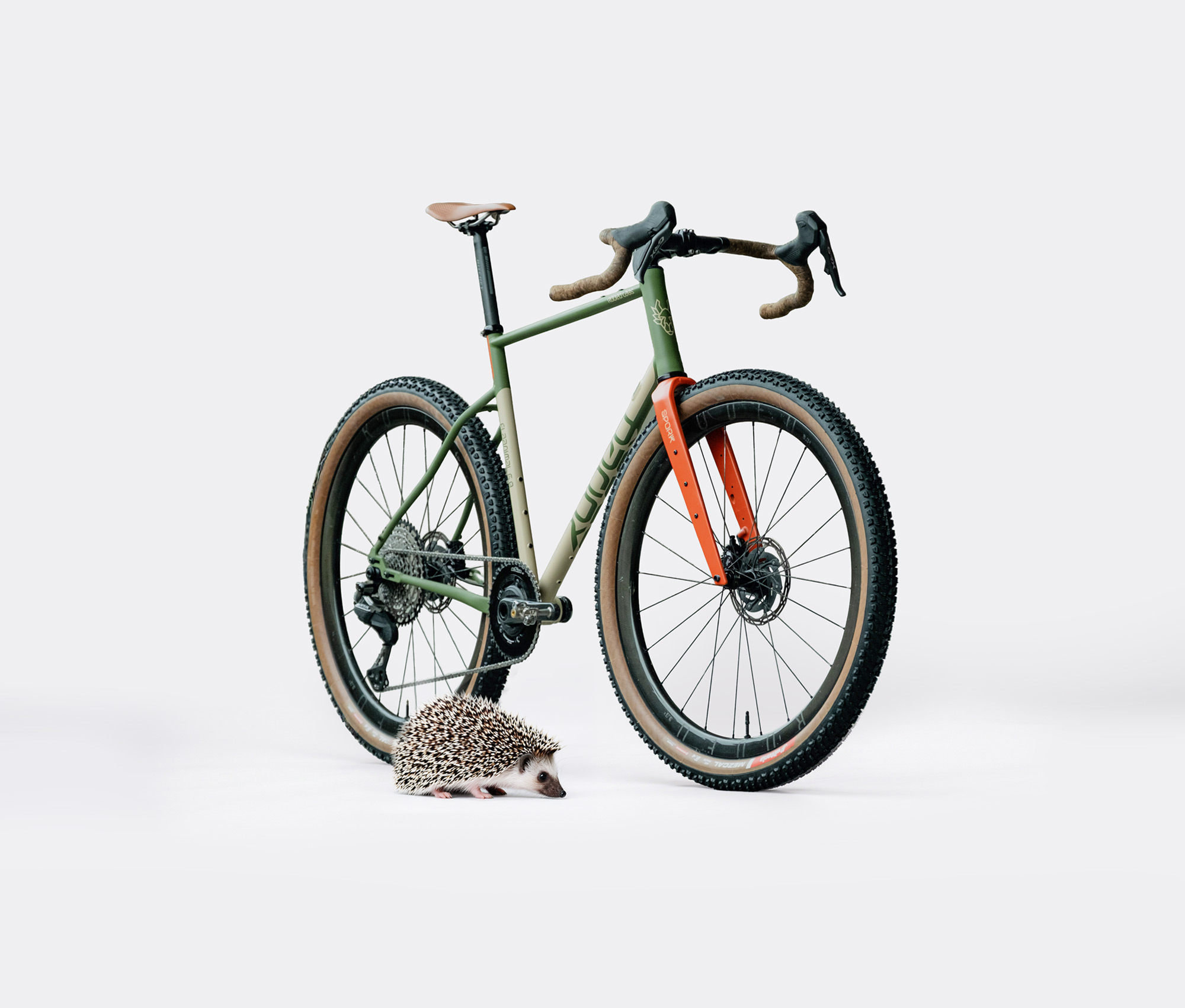
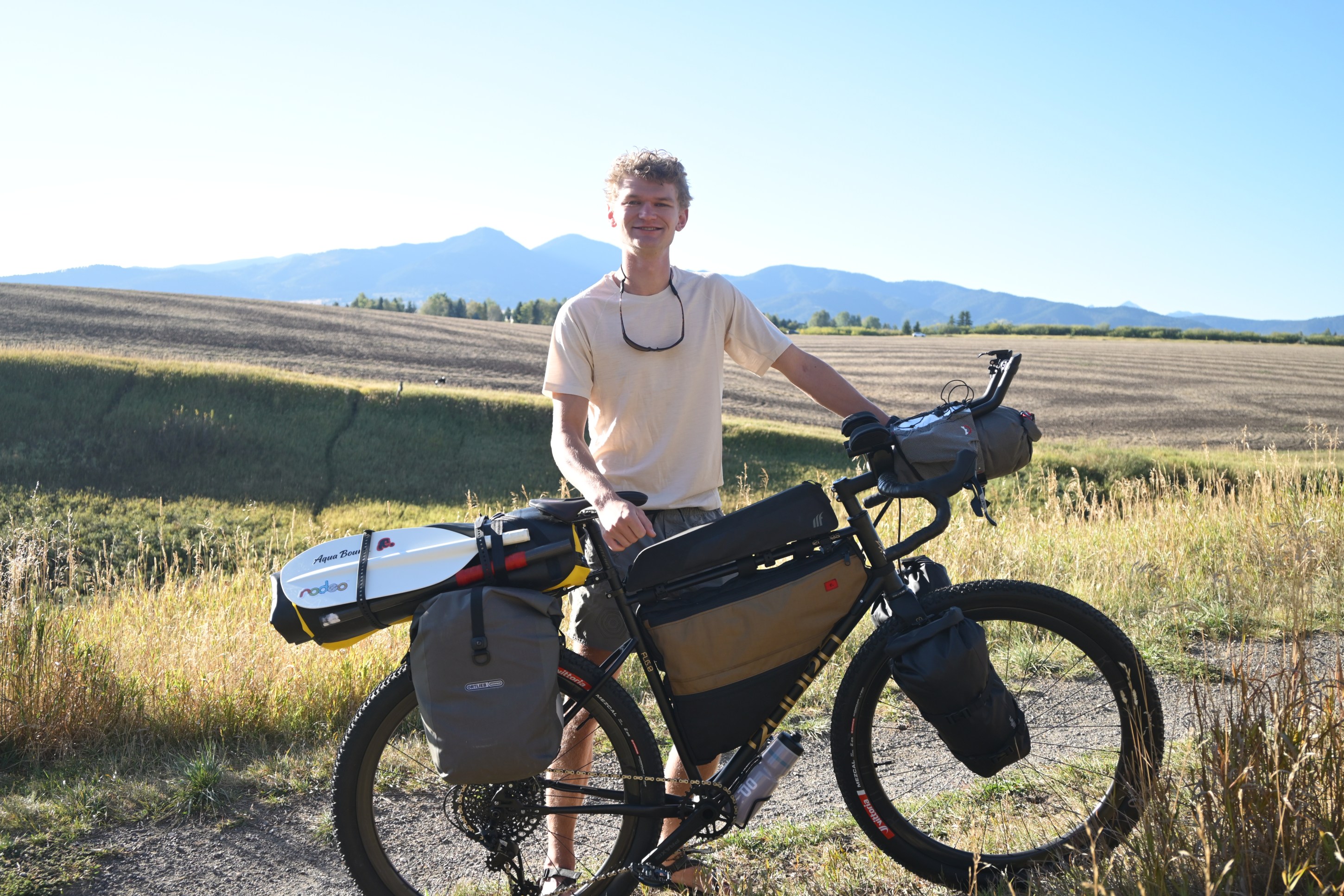
For this trip I’ll be riding the Flaanimal 6.0 Steel, Spork 4.0, and Rodeo 3.0X wheels.
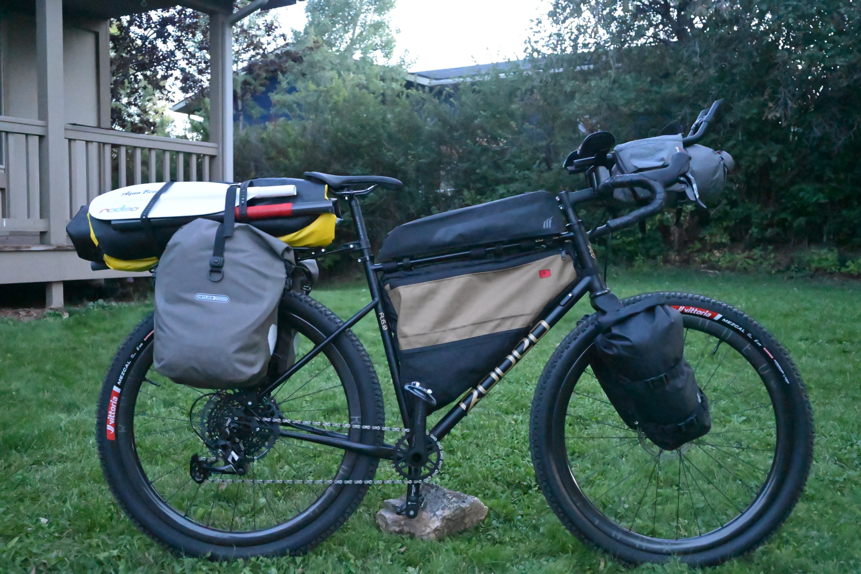
Bags are a mix of Ortlieb, Tailfin, Revelate, and custom. Tires are the proven Vittoria Mezcal in 29×2.25. The pack-raft is by Kokopelli Packrafts.
Chapters
River Leg · Leg 1 of 11
North Fork of the Flathead
The line starts at the US/Canada border, dropping onto the North Fork of the Flathead, the wild and scenic river that forms the western edge of Glacier National Park. It’s a paddle out before it’s a pedal: The current does the first work of the trip, carrying the raft south past the confluence and into the main Flathead, down to the intersection with the GDMBR at the takeout in Columbia Falls.
THIS LEG: 72 MIWHITEWATER
Class I–III
Bike Leg · Leg 2 of 11
Through Montana on the Great Divide Route
Rafts get strapped to the bike and the Great Divide Mountain Bike Route takes over. This section traverses south through Montana’s backcountry, crosses over the Divide more than once, and threads along the edge of Yellowstone National Park before dropping into Wyoming at Jackson Lake, where the Snake River picks the trip back up.
THIS LEG: 688 MIELEVATION GAIN
34,883 FT
River Leg · Leg 3 of 11
Snake River
Onto the second river of the Saddle to Paddle traverse, the Snake carries the raft and bike from Jackson Lake, south through Jackson Hole and down toward the Palisades Reservoir on the Idaho state line, leaving the Tetons in the distance.
THIS LEG: 81 MIWHITEWATER
Class I–III
Bike Leg · Leg 4 of 11
SLoToJa Route
Back on two wheels at Palisades, the route now connects to the SLoToJa route (Salt Lake to Jackson). Running the reverse direction here, the route crosses through the Idaho/Wyoming/Utah high country south toward Logan, then a short connector track drops straight onto the newly developed Golden Gravel Trail.
THIS LEG: 175 MIELEVATION GAIN
17,522 FT
Bike Leg · Leg 5 of 11
Golden Gravel Trail: Section 4
Golden Gravel’s Section 4 carries the route south through Utah’s high desert backcountry, running the ridgelines above the Uinta Basin. A connector route peels off the established golden gravel trail and carries the route east to the put-in at Ouray.
THIS LEG: 358 MIELEVATION GAIN
25,676 FT
River Leg · Leg 6 of 11
Green River
Rafts and bikes back in the water at Ouray, riding the Green south through Desolation and Gray Canyon, one of the longest, quietest river stretches on the whole route, down toward the confluence with the Colorado in Canyonlands.
THIS LEG: 204 MIWHITEWATER
Class I–III
Bike Leg · Leg 7 of 11
White Rim Trail
Out of the canyon and onto the legendary White Rim trail. The route follows the White Rim for 70 miles of the loop high above the Green and Colorado, deep in Canyonlands country. Then a link road carries the route the rest of the way into Moab, right where Golden Gravel’s next section picks up.
THIS LEG: 92 MIELEVATION GAIN
11,171 FT
Bike Leg · Leg 8 of 11
Golden Gravel Trail: Section 3
From Moab, Golden Gravel’s Section 3 runs through the La Sal Mountains and across western Colorado’s high desert before landing the route back on the Great Divide Mountain Bike Route.
THIS LEG: 342 MIELEVATION GAIN
27,994 FT
Bike Leg · Leg 9 of 11
Back To The Divide
The Great Divide Mountain Bike Route carries the trip southeast across Colorado and into New Mexico, where a short connector track takes the route down into the Rio Chama’s canyon at the put-in.
THIS LEG: 197 MIELEVATION GAIN
11,990 FT
River Leg · Leg 10 of 11
Rio Chama
A shorter river leg takes the route through red-rock New Mexico and the Rio Chama’s canyon country. It ends right back on the Divide Trail at the takeout.
THIS LEG: 90 MIWHITEWATER
Class I–III
Bike Leg · Leg 11 of 11
The Long Run South
The final and longest bike leg: the Great Divide Mountain Bike Route’s southern reach through New Mexico, all the way down to Silver City. From there, the route peels off the official GDMBR for good, the route drops out of the high desert and into the Rio Grande valley to finish in El Paso, Texas.
THIS LEG: 592 MIELEVATION GAIN
19,102 FT

One response to “Saddle to Paddle Traverse”
Amazing, Pete!