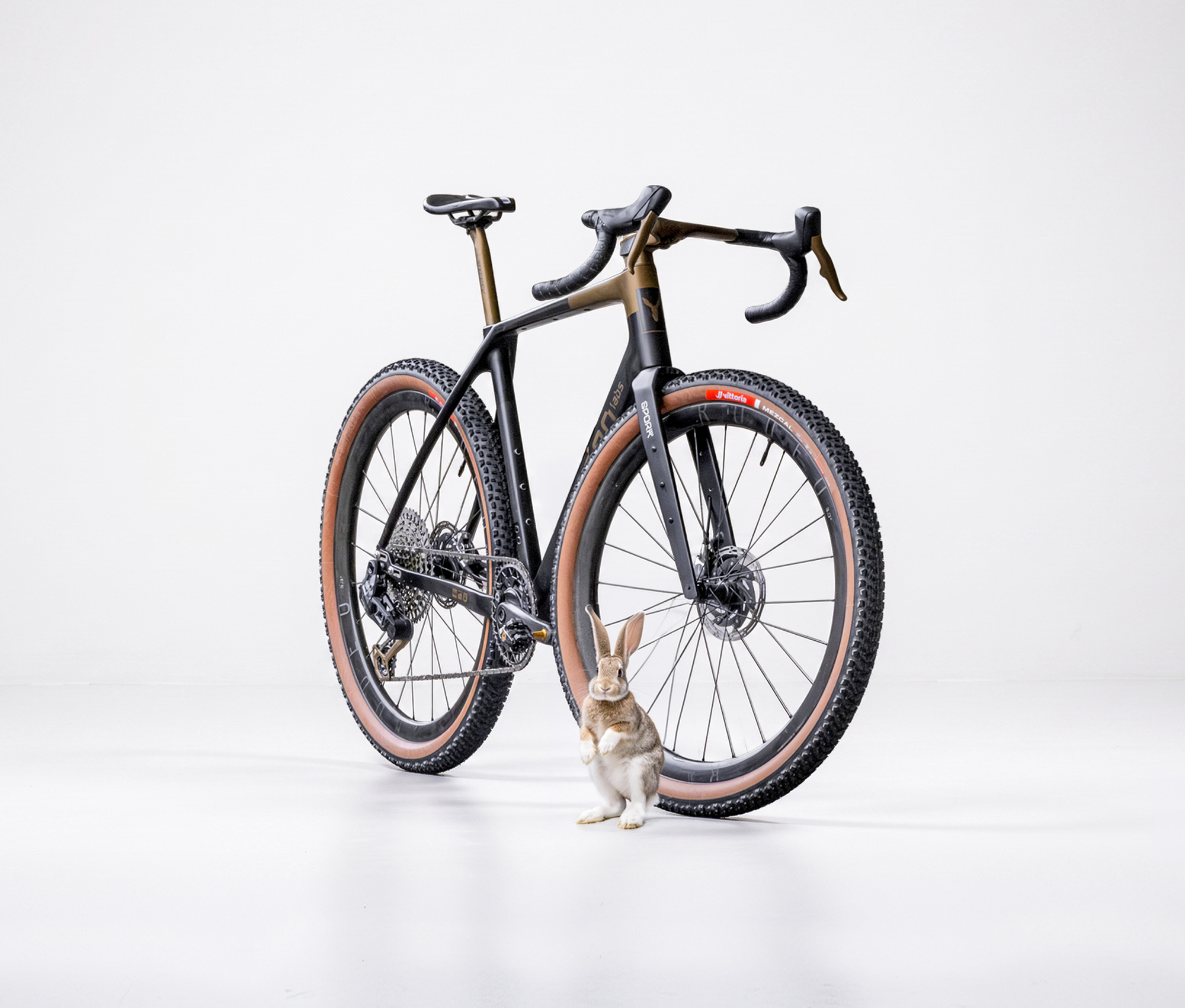

Introduction
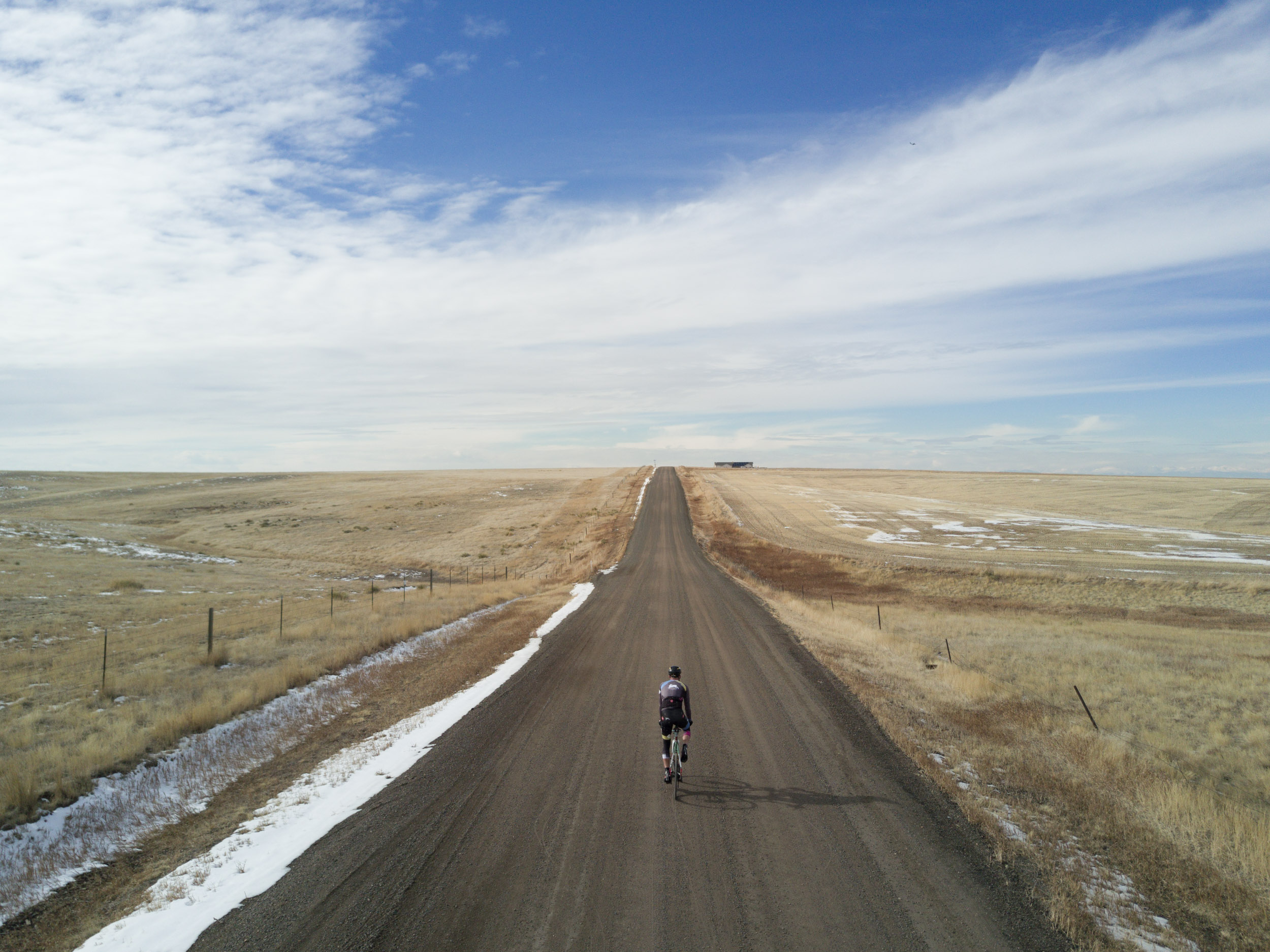
Corner to Corner. That was the idea. I thought of it a couple of years ago when looking at a map and realzing that Colorado has four very tidy corners. What lies between them is so incredibly diverse, from flat, rolling, nearly endless flat lands to the east, to the majesty of rugged 13,000 foot passes towards the south west of the state. Some of the roads I knew, and most I’ve never seen with my own eyes. What’s out there? That question is always the best fuel for building a new adventure.
For the route I the goal was simple: I wanted to create a diagonal line from one corner at the start to another corner at the finish. It didn’t have to be a perfect diagonal, but the idea of routing around the good or the bad parts of the course was not the point, the point was to draw that line and let Colorado be what it is, and to discover each piece of that mile by mile. Some miles would be mindless and austere, some would be nearly endless eye candy and vistas. Some would be fast rolling, some would be slow and technical.
Come what may! That’s the Diagonal. We’re setting off to discover it on September 3rd, and we invite you to follow along via our tracking dot on the map below.
Scroll the map below to interactively learn about different sections of the course. In the map we’ve included descriptions of what we consider to be 13 key chapters of the ride. If you’d like to dig deeper, we expand on each chapter further below.
When compiling information about these chapters we used maps, standard search tools, Colorado Encyclopedia, and Anthropic Claude to round up facts and organize data.
If you would like to learn about our eqipment for the trip, that can also be found further down the page.
Supporters
We do wish to thank the following brands who have supported our adventure directly or indirectly.

Spring Energy makes real-food sports nutrition, which we’ve found to be much easier on our stomachs on these silly adventures. They sent us a care package for this adventure.

FSA / Vision supplied components for Stephen’s 32″ build including seatpost, F-Force handlebars, and Vision aero bars. David’s bike uses FSA bars and Vision aero bars.

Tailfin built a custom fitted frame bag for the 32″ build, and supplied other needed bags and accessories for both bikes, including their rear rack system, top tube bags, straps, and a bar cradle.

Nemo makes ultralight equiment for bikepacking, and we’re using sleeping bags (quilts) and pads from their lineup.
Interactive Map
We start on Thursday September 3rd, 2026, and hope to finish by September 7 before the 4 corners monument closes at 7pm. While we are out there we will be pinging the map with our location. You can see our live progress by clicking the “Where are we now?” button below.
Follow along via the map below, and when possible we will update on social media via Instagram stories.
Rodeo Labs
The Colorado Diagonal
Follow along with us on a journey through Colorado’s geology, history, and beauty. It’s an adventure on two wheels, inspired by the desire to see this state up close, and to earn our way across it using our hearts, lungs, and a little help from roughly 50,000 calories.
If you would like to dive deeper into the details of the exact route we’re attempting, you can check the detailed route out on Ride With GPS.
Land History
Whose Land This Is
I drew this line on a map because Colorado has four tidy corners and I thought that it would be fun to connect them with a line. This is about as simple a reason as you can have for drawing a route. As it turns out, that the line runs through the homelands of a lot of people. Most of it changed hands in various insidious ways inside about thirty years in the nineteenth century. This isn’t some perfomative story to include, it’s the real facts and history of the place. Having read quite a few books on early Colorado history, I’m very saddened by how we got where we are, and what happened along the way. I think it’s fitting to still talk about that, lest we all get too comfortable with “that’s just how it is”.
The plains. The first two hundred miles cross country that the Treaty of Fort Laramie recognized in 1851 as Cheyenne and Arapaho — everything between the Arkansas and the North Platte, which is most of the Colorado Front Range. Ten years later the Treaty of Fort Wise cut that down to a strip between the Arkansas and Sand Creek, a small fraction of what came before. Then on the twenty-ninth of November 1864, Colonel John Chivington took 675 men of the First and Third Colorado Cavalry into a camp on Sand Creek that was there peacefully, and killed more than 230 people, most of them women, children and elders.
Sand Creek itself is about 130 miles southeast of our route and we do not go near it. What we do ride through is the answer to it. In January of 1865 a force of around a thousand Lakota, Cheyenne and Northern Arapaho came down on Julesburg, cleared out the ranches and took the stock, and on the second of February they came back and burned the town to the ground. Julesburg is route mile 16.8. We ride through it in the first hour, in the dark, and without any of this written down somewhere I would have gone through it thinking about breakfast.
The mountains. From the hogback west, this is Ute country, and has been for as long as anyone can establish. The Southern Ute Tribe puts it plainly on their own website: they are the oldest residents of Colorado. The mountain parks we cross — South Park, Taylor Park, the Cochetopa — were seasonal country, and Los Pinos Pass at mile 483 sits on a documented Ute trail that the Hayden Survey recorded in 1874. The first Los Pinos Indian Agency was in that same basin.
The document that changed all of it is the Brunot Agreement, signed on the thirteenth of September 1873 and approved by Congress the following April, which took 3.7 million acres of the San Juans out of the Ute Reservation so the mountains could be mined. Silverton was established the next year. Nearly everything in the back half of this ride sits downstream of that signature — the ghost towns, the tramways, the Superfund site, the road we take over Engineer Pass. The Utes kept hunting rights on the ceded land, and Southern Ute and Ute Mountain Ute members still exercise them across what Colorado Parks and Wildlife manages as the Brunot Area today. We are inside it for the better part of three days.
The last day. Then the Great Sage Plain, where people were farming and building nine hundred years before any of the above. Canyons of the Ancients holds more than 8,300 documented archaeological sites, the highest known density anywhere in the country. The word for what happened there around 1275 to 1300 is depopulation, or migration — people left, and went to the Hopi mesas and the Rio Grande valley, and their descendants are living now. The Park Service and the Bureau of Land Management both moved off the word “abandonment” for that reason, and once somebody points that out, “abandoned” starts to sound like an odd thing to say about anyone’s home.
Our last thirty-odd miles run on the Ute Mountain Ute Reservation, roughly 553,000 acres held by the Weenuche band with its seat at Towaoc, which we pass within a couple of miles of. This is the same nation holding the water right that was legally settled in 1988 and still has no infrastructure built to deliver it, which is the thread that started at the gage outside Julesburg on the first morning.
And the monument at the end is not a federal site at all. Four Corners is a Navajo Nation Tribal Park, run by Navajo Nation Parks and Recreation, with its own hours, its own entry fee, and vendors selling jewelry and food right at the edge of the marker. So we finish this thing as visitors, on somebody’s land, paying at the gate. That seems like the right way around.
Bike Setups
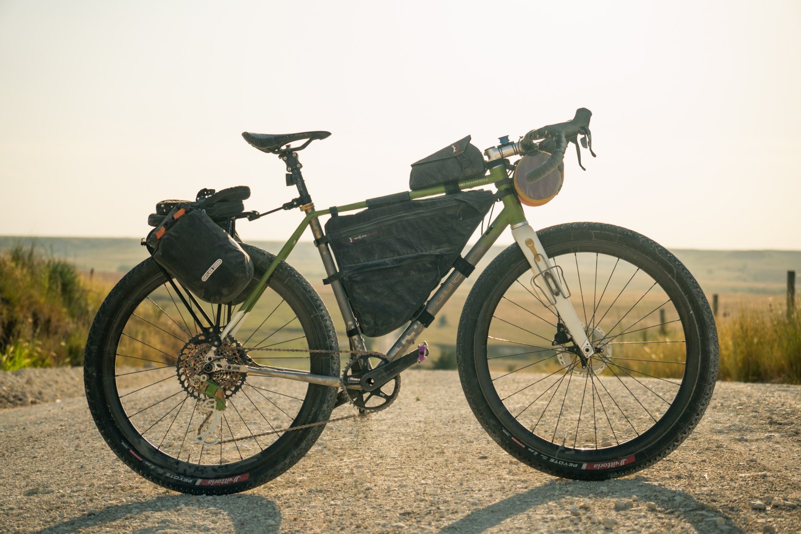
Stephen’s Project Denver 32″ prototype
This one-off 32″ Rodeo Labs gravel bike was built for one reason: To ride far and wide, and to draw conclusions for ourselves about the whole 32″ wheel craze. Is it a fad? Yes. But could it also be a useful and even beneficial tool for long distance endurance riding? We had to ask and answer that question for ourselves. The bike was designed and the frame built in-house in our Denver, Colorado HQ. We used titanium lugs and carbon tubes with a bonded construction.

Maxxis Aspen ST 32×2.25
FSA K-Force handlebar
FSA / Vision aero bars
Tailfin rear rack
Tailfin top tube bag
Tailfin R&D frame bag
Dry bag bar roll
Custom Hollowgram crankset / 34t
Sram Force / GX 10-52
Berd Hawk 30 Gold 32″ wheels
Selle Repente Quasar saddle
eeSilk seatpost
Coros Dura GPS
David’s TD4.0
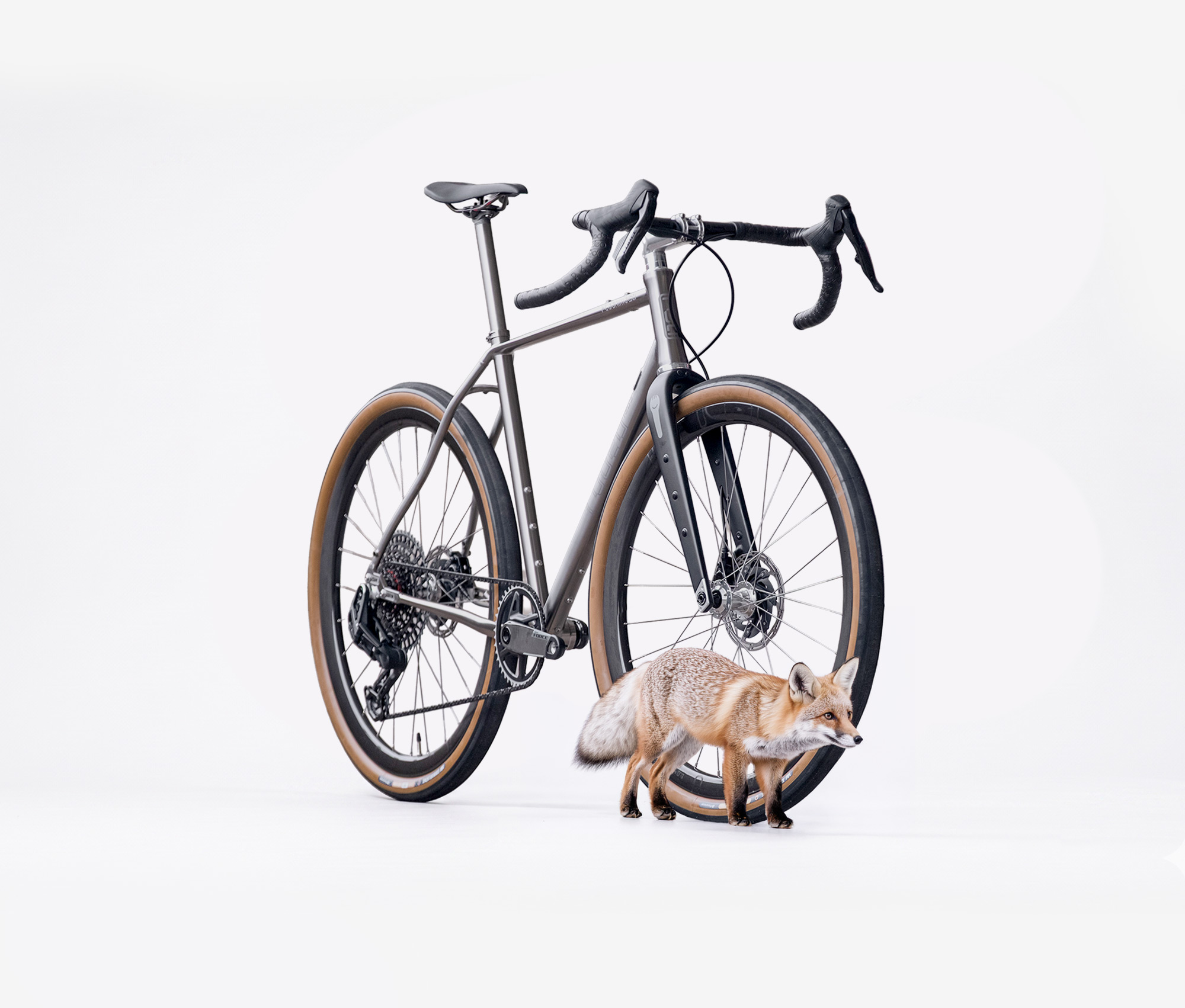
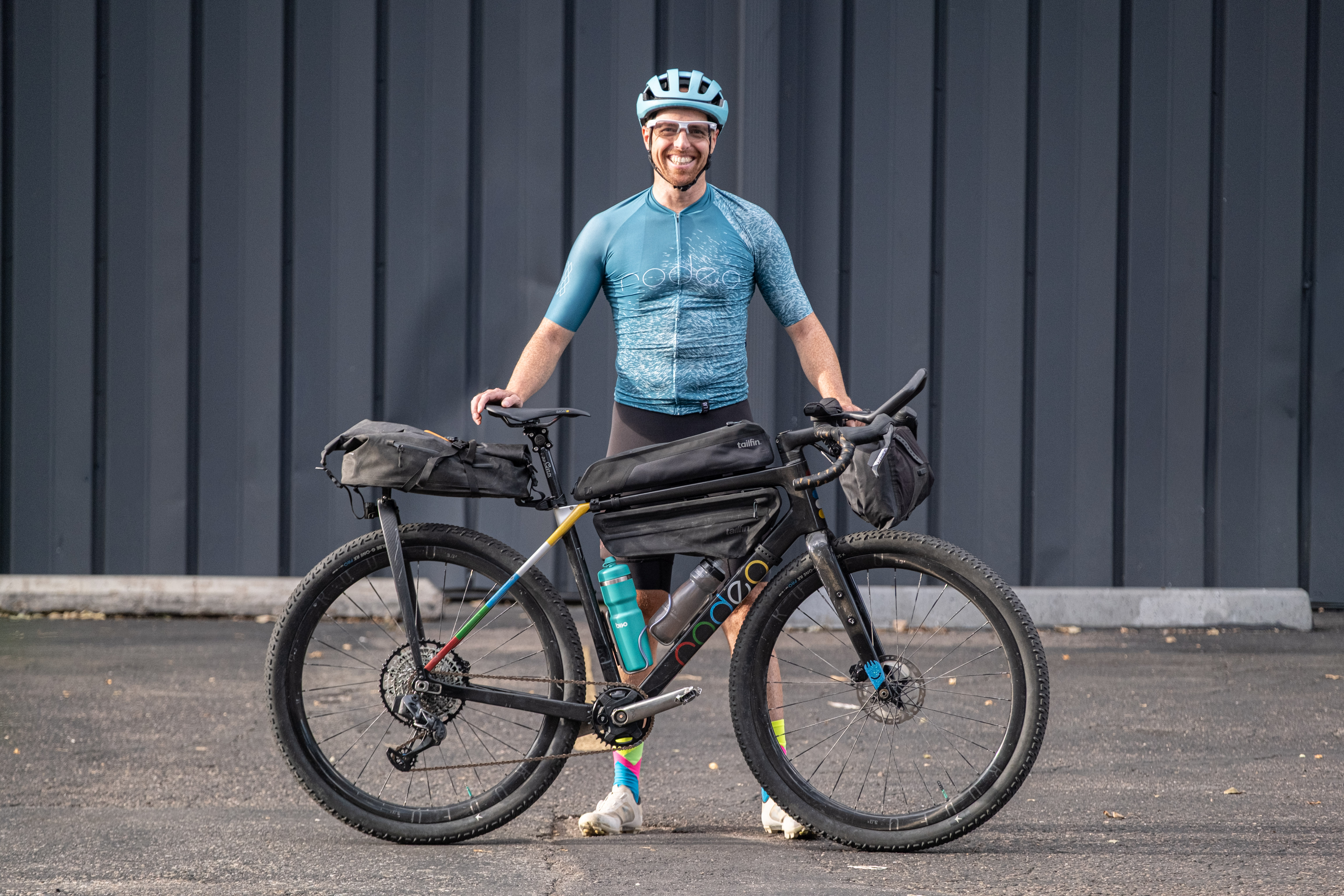
There aren’t many Traildonkeys with more adventures in their bones than David’s TD4. Spain, Iceland, All over the USA.. to infinity and beyond. It is a trusty steed that has seen it all. It is geared up for the biggest adventure yet!
Rodeo Labs Traildonkey 4.0
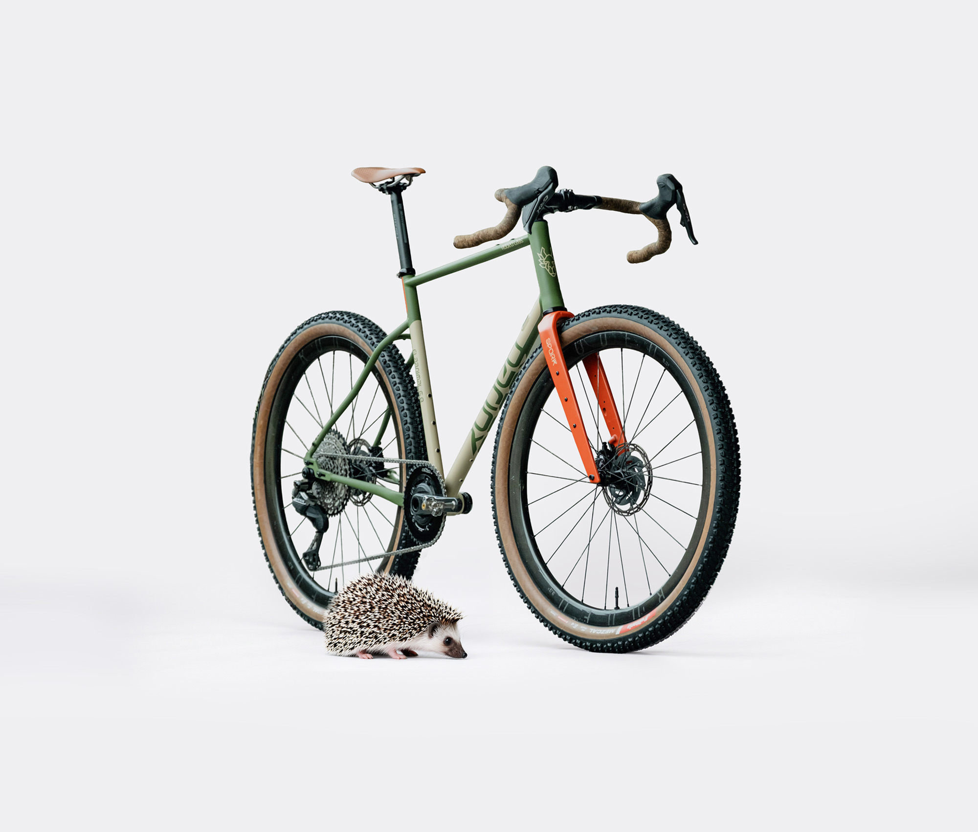
Rodeo Labs Spork 3.1
Rodeo 3.0 / 700c wheels / Onyx hubs / Berd spokes
Schwalbe G-One RX Pro 700×55 tires
FSA K-Force handlebar + Rodeo Golden Trees Bar Tape
FSA / Vision aero bars
Cane Creek eeWings cranks + Wolftooth bottom bracket
Sigeyi AXO SL Power Meter – Wolf Tooth 34t chainring
SRAM Force / XO Eagle AXS mech / Garbunk 10-52 cassette
eeSlik seat post with Rodeo x Repente Quasar Saddle
Wolftooth alt pedals
Tailfin rear rack
Tailfin top tube bag
Tailfin frame bag
Tailfin bar harness
Coros Dura GPS
Garmin Messenger tracker
Fizik Vento Proxy Shoes
Various Rodeo Labs Kit: Explorts 3.0 Bibs. R+D Jersey Testing. Pick Up Sticks Merino Wool Jersey
Ridge Supply Socks
Patina of usage: dings, dents, rubs, and scratches.
Rider with courage and fear – in well balanced measures.
Expanded ride chapters
A follow along immersive journey is here: Colorado Diagonal. Below we have included some expanded details that we learned about our route during preparation and research for this adventure.
1 · The Corner
Mile 0 – 17.4 · The Plains
It’s always about water in Colorado. Researching this trip has taught us that much. There is a stream gauge on the river bridge just south of Julesburg, right about route mile 17, and it is there because a 1923 compact between Colorado and Nebraska says it has to be. The arrangement is that from the first of April to the fifteenth of October, if flow at Julesburg falls under 120 cubic feet per second, Colorado has to shut off its junior water rights and let the rest go downstream.
A hundred and three years later the two states are arguing about it in the United States Supreme Court. Nebraska sued Colorado in July of 2025 over a diversion called the Perkins County Canal, a roughly 500-million-dollar project planned near Ovid, which happens to be route mile 24. The Court agreed to hear the case in July of this year, about eight weeks before we start.
I did not pick the start line for any of this. It is a corner on a map. But we ride past the gage and past the canal site inside the first hour, and the argument about who owns this water ends up following us most of the way across the state.
2 · The South Platte Corridor
Mile 17.4 – 146.6 · plains
Sugar beets built these towns. The Great Western Sugar Company started up in 1900 and put factories along this stretch of river in a hurry — Sterling in 1905, Brush and Fort Morgan in 1906, Ovid as late as 1925. Colorado ended up with more than twenty beet sugar factories, which is a hard number to picture now.
One of them is still working. The plant at Fort Morgan, at about route mile 131.7, has been owned by the farmers themselves since 2002 and ran more than a million tons of beets in 2018. Everything else on that list is gone or is being used for something else. Land is rarely allowed to do nothing, right?
Underneath all of it is the Ogallala Aquifer, 174,000 square miles of water under eight states, which is what made irrigated farming possible out here in the first place. It looks like nothing much is happening on this part of the ride, and meanwhile the whole place is running on water that is being drawn down faster than it comes back.
3 · Leaving the River
Mile 146.6 – 198.8 · plains
This is the quiet chapter, and it is quiet on purpose.
Geologically something real is going on, even if it does not feel like it from the vantage point of our bikes. The High Plains surface, the old sheet of sediment that washed east off the Rockies, has been stripped away here by the South Platte and the Arkansas rivers, leaving the lower and more chewed-up country the Geological Survey calls the Colorado Piedmont. It sits anywhere from a few hundred to 2,000 feet below the High Plains proper. From a bike it reads as farmland with fewer trees..
What has actually changed is what the land is being used for. The river towns behind us are irrigated. Out here it is dryland wheat, which is a much more nervous way to farm, and increasingly it is wind — Logan County alone now has 527 turbines standing in it. I wonder how many we will actually see.
I expect this to be the hardest easy riding of the whole trip. I’m entertained by good views and big mountains, but Colorado hasn’t gifted us with that yet. The piper must be paid.
4 · The Urban Crossing
Mile 198.8 – 253.0 · plains into foothills
Just east of here, near Bennett, is a place called Comanche Crossing, and on the fifteenth of August 1870, at 2:53 in the afternoon, two Kansas Pacific crews put in the rail that finished the first permanent unbroken line across the continent.
That fact is surprising, because the story everybody gets is Promontory, Utah, in 1869. Promontory joined Omaha to Sacramento, which is a big deal, but there was still no bridge over the Missouri at Omaha until 1872, so the line was not actually continuous. The connection got made out here in the dry grass east of Denver, and there is very little to mark it. History is fickle, and fades quickly.
Then the city, and the other thing this chapter has: the brightest sky of the trip. Chamberlin Observatory over in Denver took its first light in 1894 with a twenty-inch Alvan Clark refractor, a serious research instrument for its day. It is still there and it still works, but streetlights have taken away most of what it could do. Everything west of here is a sky that has not had that happen to it – yet. I hope to see some dark skies out there, even if I don’t love riding in the dark.
5 · The Hogback and Waterton
Mile 253.0 – 268.3 · foothills
Waterton Canyon belongs to Denver Water, and the road we ride up it is their access road to Strontia Springs Dam, six miles in.
Strontia Springs is not a big reservoir. The dam is 243 feet tall and the pool behind it holds 7,863 acre-feet, easily the smallest of Denver Water’s three terminal reservoirs. Roughly 80 percent of Denver’s drinking water goes through it. A city of three million depends on a man made body of water you can ride past in twenty minutes. Sometimes water gushes from the dam and everything feels how it ought to. We’re in a drought right now though. Denver feels pretty fragile these days.
The canyon is also mile zero of the Colorado Trail, the eastern end of 567 miles of trail that finishes in Durango. We are on it for about fifteen miles and then we leave, which feels a little rude. The Colorado Trail gets plenty of attention. Our route aims to intentionally not cherry-pick the best of the state, it simply aims to bridge the two corners with about as diagonal a line as we can reasonably make.
Denver Water says about seventy bighorn sheep live in Waterton Canyon. Black bears and mountain lions too, though those you do not plan on seeing even if they see you.
The railroad got here long before bikes did . The Denver South Park and Pacific reached the mouth of the canyon on the fourth of May, 1878.
6 · Burn Scar and Granite
Mile 268.3 – 312.0 · foothills into montane
The Hayman Fire burned from the eighth of June to the second of July, 2002. It took 137,760 acres, about 60,000 of them on the ninth alone, along with more than 600 structures and six lives. It was set deliberately, by a Forest Service employee. For eighteen years it was the largest wildfire in Colorado history. It is fourth now, and it leads the 2025 Lee Fire by two acres, which is the kind of margin that will change again. We had actually planned on riding this Diagonal back in July, but forest fire smoke scrambled our plans – a common summer occurrence anymore.
Here is the part that connects back to yesterday’s riding. Hayman, together with the Buffalo Creek fire of 1996, washed more than a million cubic yards of sediment into Strontia Springs, the same small reservoir we passed under in the last chapter, the one Denver drinks out of. Denver Water has spent north of 27 million dollars dealing with it. A fire up here turns into a dredging bill down there. Denver will spend any amount of money to secure its water. Water is everything.
Cheesman Dam sits in the middle of the burn. It was finished in 1905 at 221 feet, the tallest dam in the world at the time, and it is still standing and still working. The fire reached it on its second day. It’s a punchy climb to the vista up the dam, but its a climb that I am very fond of.
7 · South Park
Mile 312.0 – 362.4 · montane
The South Platte comes out of the ground up here. That is the river we followed for 129 miles across the plains, from Julesburg to Fort Morgan, and now we are standing at the top end of it, having come around the long way. The route never repeats a mile doing it, which I did not design and only noticed afterwards.
South Park itself has been a National Heritage Area since 2009 — nearly 1,800 square miles of it. That is a designation rather than a park, and mostly it means somebody agreed the place was worth naming. At least there are no entry fees!
We leave over Trout Creek Pass, which is a pass that does not divide oceans; both sides of it end up in the Atlantic eventually. Two railroads used to cross here, the Colorado Midland and the Denver South Park and Pacific, with the Midland running its trestle up over the top of its competitor. The Midland was the first standard-gauge line over the Continental Divide in Colorado and was ordered to stop operating on the third of August, 1918. Heavy World War I traffic overwhelmed its system, leading the government to reroute business elsewhere, which caused a sharp drop in revenue and bankruptcy.
8 · The Divide
Mile 362.4 – 395.0 · montane, subalpine, alpine
Every drop of water on the west side of Cottonwood Pass is governed by a document signed in 1922.
The Colorado River Compact split the river between an upper basin and a lower basin, 7.5 million acre-feet a year to each. The trouble is the number it was built on. The negotiators worked from an assumption of roughly 18 million acre-feet a year, and the river has never delivered that; they happened to measure during an unusually wet run of years. Everything downstream of this ridge — Lake Powell, Lake Mead, the farms, the cities — is still arguing inside the arithmetic of that week in 1922.
So we cross a watershed and a legal boundary at the same instant, which is a coincidence of geography I have found hard to stop thinking about. We’ll be dipping our bottles into rivers and creeks all along this route. Are we stealing it from Nevada and California? Sorry not sorry.
Smaller things in this chapter: About four and a half miles east of Buena Vista are rideable on the old Colorado Midland grade, with detours where the trestles came out. And Cottonwood Pass itself was paved between 2017 and 2019, which makes it the newest piece of infrastructure on the entire route. I was more fond of the dirt version, it felt more epic. But I’ll bet that our legs will be glad that it’s paved by the time that we get there.
9 · Taylor Park and the Ghost Towns
Mile 395.0 – 442.7 · alpine into subalpine
Gold turned up at Willow Creek near Tincup in 1859. The town got properly platted in 1879, and by the 1880 census 1,495 people lived there. It held its last town election in 1918. Pitkin, on the other side of Cumberland Pass, was founded in 1879, was over a thousand people by 1882, and was already shrinking by 1883. Four years, start to finish.
The rail story here is an odd one. No railroad ever reached Tincup, and none ever crossed Cumberland Pass. The way through was the Alpine Tunnel, bored in 1880 and 1881 at 11,523 feet, the highest narrow-gauge railroad tunnel in North America when it opened in 1882. It closed in 1910 and the bore is sealed now, east portal collapsed, west portal buried. The road we take over Cumberland exists because that tunnel did not work out.
The other thing living up here is the Gunnison sage-grouse, listed as threatened in 2014, with something like 3,500 breeding birds left across seven populations. The Gunnison Basin holds the biggest of them. We will not see one, and that is fine, but also sad.
Something else that lives up here is the lover and her illegitimate child of a world famous heavy metal band member. I know this because someone working at a tiny store in St. Elmo told me so. They were given hush money and a place to live that was mostly off the map. Is the story true? I believe it.
10 · La Garita and Cochetopa
Mile 442.7 – 497.0 · montane and subalpine
About 28 million years ago the ground here did something that is genuinely difficult to hold in your head. The La Garita caldera produced the Fish Canyon Tuff, more than 5,000 cubic kilometres of erupted material, call it 1,200 cubic miles, out of a collapse structure roughly 35 by 75 kilometres across. It is the third largest eruption anyone has identified on Earth, behind Wah Wah Springs in Utah and Toba in Indonesia. The whole back half of this route sits on the central San Juan caldera cluster, at least 8,800 cubic kilometres of ash in nine major sheets.
The human history out here is more recent and harder to write about. We cross Los Pinos Pass at 10,510 feet on what was a documented Ute trail, recorded by the Hayden Survey in 1874, and this is the country of the first Los Pinos Indian Agency.
A year before that survey, on the thirteenth of September 1873, the Brunot Agreement took 3.7 million acres of the San Juans out of the Ute Reservation so that the mountains ahead of us could be mined. Silverton was established the following year. Most of what happens in the next three chapters follows from that document.
11 · Slumgullion and the Alpine Loop
Mile 497.0 – 548.9 · subalpine and alpine, high point
The Slumgullion Earthflow is a landslide 6.8 kilometres long with an active section still moving between two and seven metres a year. The Geological Survey calls it Colorado’s natural landslide laboratory and keeps three monitoring stations on it, using satellite positioning, extensometers and ground-based radar to watch it go. Eight or nine hundred years ago it slid far enough to dam the Lake Fork of the Gunnison, which is how Lake San Cristobal came to exist — the second-largest natural lake in Colorado, made by a mountain melting like ice cream on a summer day.
There is a certified International Dark Sky Park, the Lake Fork Earth and Sky Center, sitting on 58 acres at the toe of that flow. An observatory on ground that is measurably moving underneath it.
Lake City below us was a silver town. The Ute-Ulay mine was found on the twenty-seventh of August, 1871, and produced around $12 million between 1891 and 1903 ($480 million in 2026 dollars). Then silver fell to 78 cents an ounce in the panic of 1893, and roughly a thousand of San Juan County’s sixteen hundred residents were out of work. Now days it’s an eclectic mix that live there, and I love this town time I see it.
12 · Ophir and the Descent West
Mile 548.9 – 624.7 · alpine down to montane
Two miles off the route below Ophir Pass is a small power station called Ames, and in the spring of 1891 it became the first place in the world to generate and transmit alternating current for industrial use. Three thousand volts, 133 hertz, single phase, out of a hundred-horsepower Westinghouse alternator, carried 2.6 miles on bare copper wire to a matching motor at a mine. Four years before Niagara. The argument over whether the future was direct or alternating current was effectively settled in a canyon we descend.
I have to be careful here, because the mine Ames powered was called the Gold King, and there is a completely different Gold King about thirty miles away, above Silverton. That second one is the one that let go on the fifth of August, 2015, sending about three million gallons of mine water down Cement Creek into the Animas, past Durango, into the San Juan and on to Lake Powell, reaching Navajo Nation farmland in the middle of the growing season. The Bonita Peak Mining District went onto the Superfund list in September 2016, with 48 mines and mine features in it.
Something better to end on: this is the core range of Colorado’s Canada lynx. Ninety-six were released in 1999 and 2000, and there are maybe 75 to 100 in the state now, most of them right here. I hope we see one.
13 · The Great Sage Plain
Mile 624.7 – 687.8 · the ladder in reverse, into semi-desert
McPhee Reservoir is the last big water we ride past, and in 2026 it gave full-service Dolores Project irrigators about 14 percent of a normal supply. In the middle of August it was sitting roughly six feet above the lowest level it is allowed to operate at. Downstream, Lake Powell was at 23 percent of live capacity on the twenty-first. This stuff stresses me out.
The route crosses the Ute Mountain Ute Reservation on the way to the monument. The Tribe holds a water right that was legally settled in 1988, under the Colorado Ute Indian Water Rights Settlement Act, and thirty-eight years later there is still no infrastructure built to deliver it. The right to the water exists, but the water still does not get there. If anyone asks you to sign a treaty, think twice before giving it your John Hancock.
Nine hundred years ago the people here were paying closer attention than we manage. Hovenweep Castle, about forty miles west of Cortez, has a small room added around 1277 with ports in its walls that line up with the solstice and equinox sunrises. Somebody worked that out by counting days and halving them.
And then a survey marker where four states meet, which is where we stop. I’ll be thinking about that marker for the entire trip. I wonder how we will feel when we arrived, having drawn our own diagonal across the state of Colorado.