Steve The Intern
Of Bikes, Photos, and Adventure, and Oregon
- ,
- , Adventures
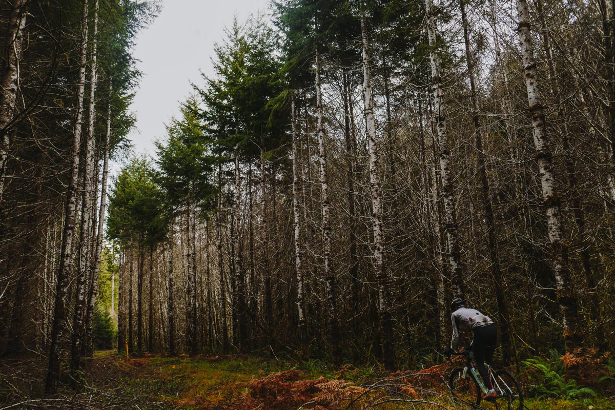
Rodeo is a company driven along by photographs. Documenting rides with a camera started a few years before we got going and was for me motivated by the fact that I didn’t have enough time to be a stand-alone hobbyist photographer and also a cyclist, so I merged the two by always having some sort of camera in my right rear jersey pocket no matter what sort of ride I was on. It started with just my phone and the Instagram app. Then I added external lenses to the phone, then I got a gopro, then I got tired of the gopro so I experimented with various point and shoot cameras. Eventually I sometimes even lugged around a full size DSLR on a specially made strap or I brought along my small drone to try to take compelling aerial photos. Taking a photograph on a ride is not hugely challenging and it is quite common these days. “If you didn’t take a photo did it even happen?” is a common joke that has an edge of cynicism. Are we taking photos of rides as a desperate cry for attention or to brag? I’ve certainly done that at times, more often in the earlier years of my cycling photo life. But more often than not I’m taking a photo on a ride because I’m so excited about the moment or the place that I’m experiencing and I want to capture that moment for later and pass it along to others. Sharing the thrill of a ride, the landscape, and the company is a wonderful challenge to take on with a camera and most of the time I actually fail at that attempt to share. 97 out of 100 photos I take go directly to the trash on my computer. Of the three that I might keep only one has the chance of being a photo I’m genuinely excited about, a photo that has the potential to communicate through a tiny phone screen or larger computer monitor what it felt like for me to be there. I think anyone who has attempted to take and share a photo has experienced this challenge. At the peak of a sublime moment of a ride or at the crest of a hill we’re overcome with how good a moment it is and we reach for the camera. We take the photo and review it later only to be deeply disappointed that the photo captures almost none of it, none of that magic that we felt when we were THERE. But when you somehow by some miracle capture that moment and it isn’t dismembered as it filters through a lens, a camera sensor, an image processing chip, and a storage card you feel a pretty huge sense of satisfaction. That’s it! That is what it was actually like to be there! That’s a special image and in Rodeo’s case those are the images that in a large part have built this company and community.
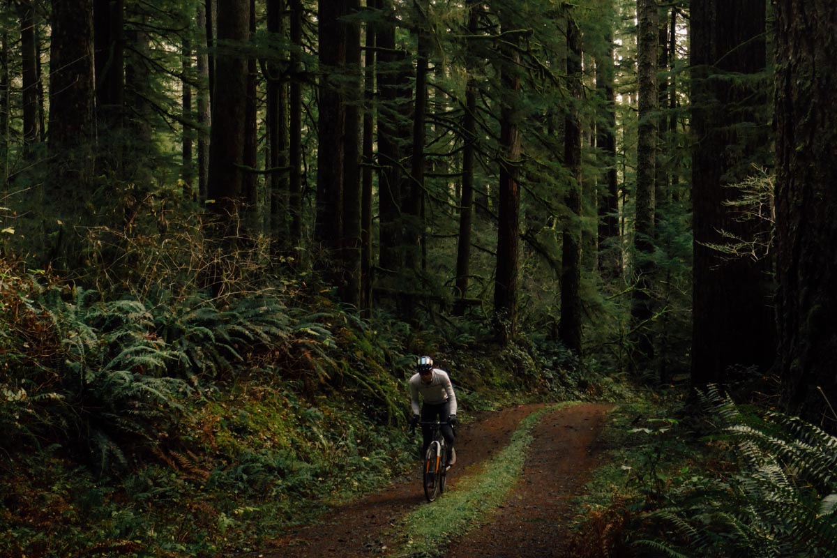
This Thanksgiving my wife and I gathered up the kiddos and went “home” to Vancouver, Washington to spend the holiday with my side of the family. Vancouver is where I grew up and Portland, Oregon is the City across the river where I quickly moved to when I struck out on my own in life. I have so many roots and memories in the Pacific Northwest as a whole and I always feel a huge sense of expectation as I go back home and see these familiar places through the eyes of someone who now lives in Colorado.
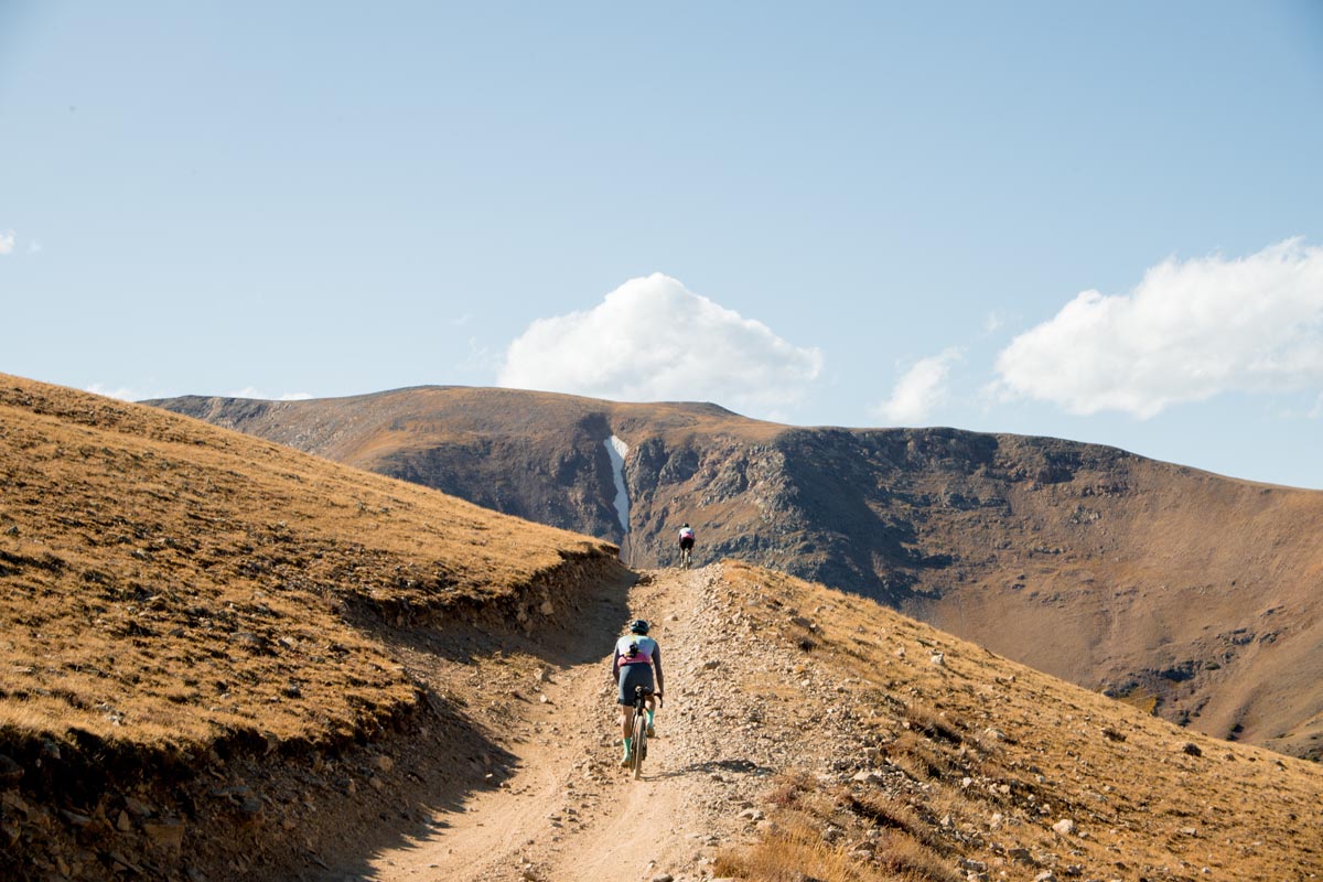
To the outside observer Colorado often conjures up images of beautiful, rugged peaks and endless prime cycling routes. Rodeo features Colorado front and center in its imagery because this is after all our birthplace and home. I think our imagery sometimes shows a false reality though, one of non stop alpine vistas and larger than life adventure rides. I often joke to people that those rides are actually the exception for me and Rodeo and that 90% of our riding is on boring bike paths and roads around Denver.
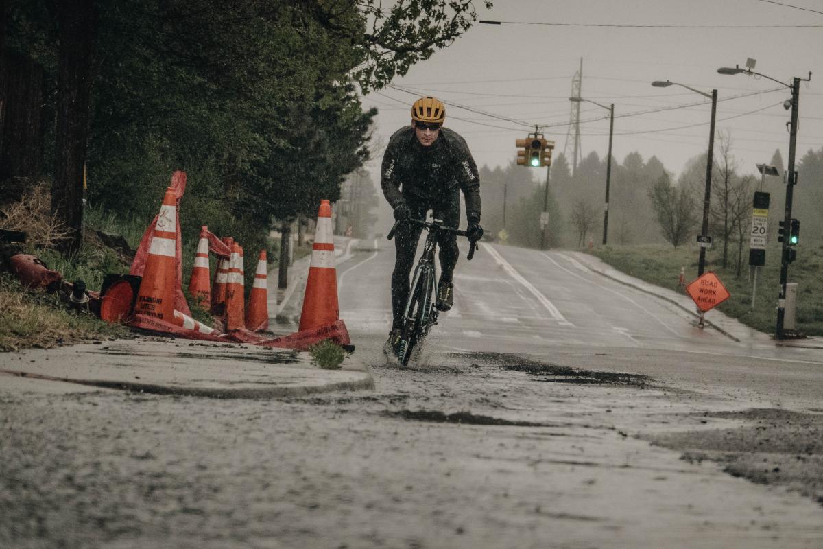
We just don’t often take pictures of bike paths and boring roads. We take photos of the good stuff up high in the Rockies. Without fail though a big mountain cycling image seems to elicit pining comments from our online audience. “I need to move there”, “you guys are so spoiled”, “I wish I had roads like that”. When I hear these types of comments I go back to that thought about bragging and wonder if that is what we’re doing. Are we just bragging? Do we have it better than everyone else and are we rubbing it in? My trip to Pennsylvania in October seemed to be a pretty strong indicator that Colorado does not have any sort of monopoly of gorgeous mountains to explore or off the charts gravel roads to play on. My own personal theory is that “adventure”, that over-used marketing buzzword that is now very in vogue, is still a genuine thing and is in fact accessible to anyone, anywhere who has a willingness to explore and get outside of their comfort zone.
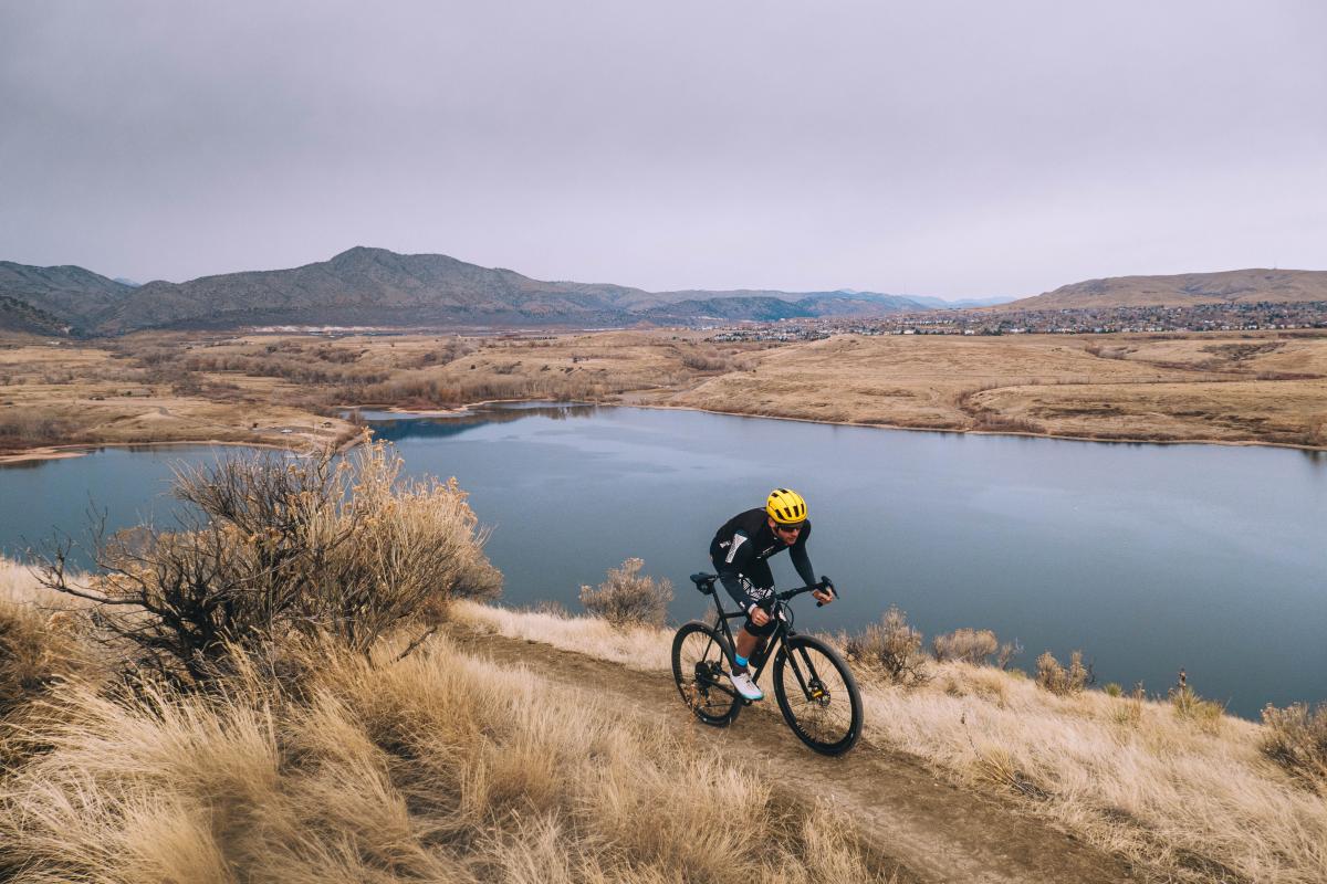
I almost didn’t take my bike home with me for Thanksgiving. The week before I left was a busy one at the office. Finding time to pack the and ship my bike (via BikeFlights) in advance was difficult to come by. I felt lazy and unmotivated. The forecast, in typical Pacific Northwest fashion, looked sadistic: 37 degrees and rain for the bulk of our stay. I wasn’t excited to go out for 20-30 miles on old familiar roads and freeze my drenched ass off. What pushed me over the edge was the fact that I’ve signed up for Atlas Mountain Race in February and I’m terrified at what I’ve bitten off. With only three months to train and prepare for it I didn’t have the luxury of eating pie and turkey on my parent’s couch for a solid week. I had to ride on my trip home and I had to make my riding count.
The problem was that family holiday visits home don’t mesh well with bike rides. At least in my family they don’t. Holiday trips are a chaotic mix of visiting old friends, dinners with family, late movie nights, and activities with the kids. There really wasn’t much time to ride at all. We had booked a beach house in Neskowin, Oregon for three days before the actual Thanksgiving holiday. There might be some opportunities to ride on those days but riding up and down the Coast Highway isn’t incredibly fun for me because it is narrow and fairly highly trafficked. Perhaps I had shipped my bike home for no reason and there simply weren’t any windows of time to ride in after all…
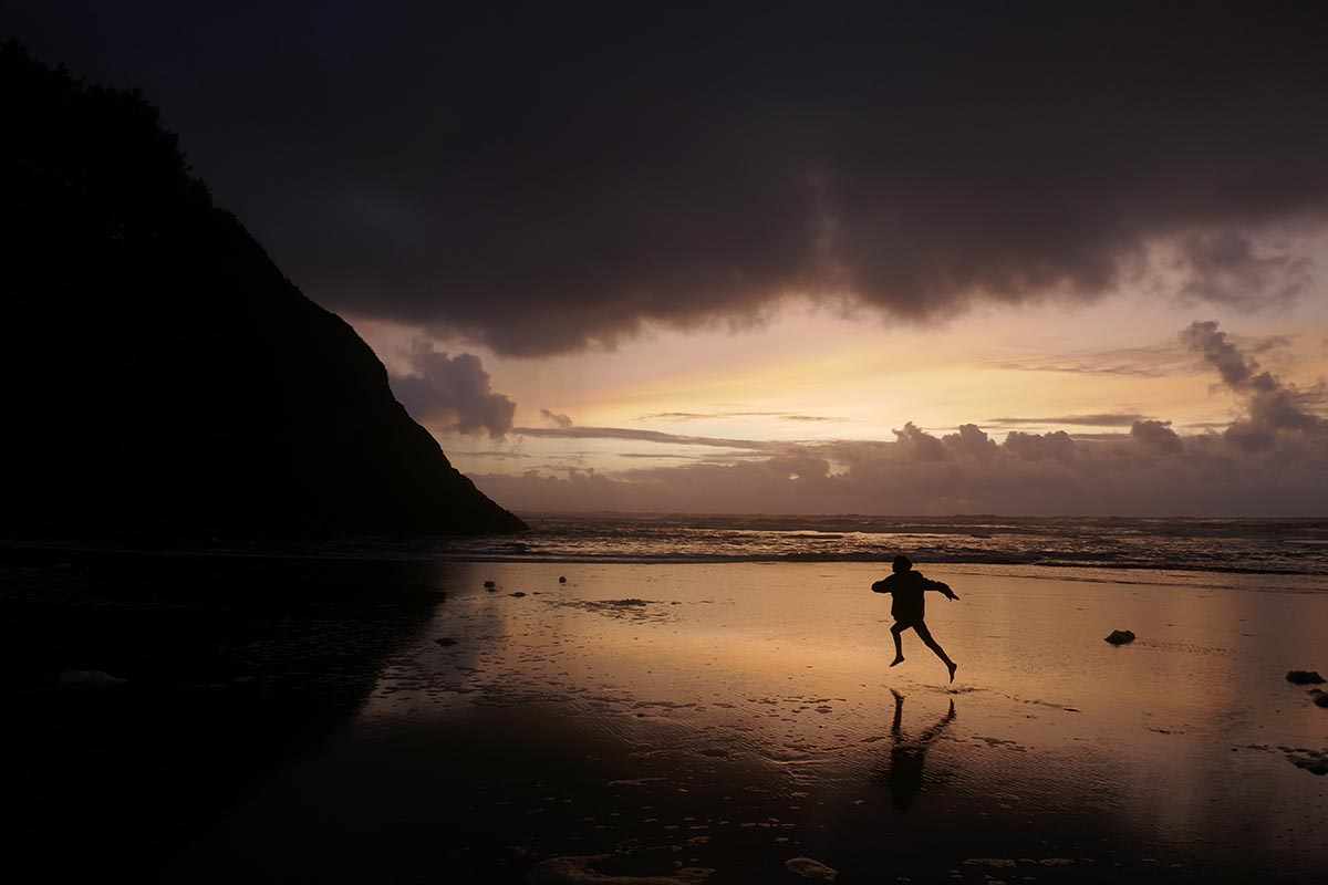
And then it hit me. On the third day maybe I could ride home from Neskowin, Oregon to Vancouver, Washington. If Neskowin was two hours away by car it had to be within striking distance on a bike. The problem was that I didn’t have any local knowledge of most of the roads between the start and finish. My route knowledge ended pretty much on the lines of the Portland urban growth boundary. All of that blank stuff on the map was wine vineyards, university towns, logging camps, and mossy Coast Range forests in my mind. Pretty much no-man’s land to a non-local like me. My solution was t roll the Strava dice and let the route builder auto compute the entire route for me. I opened my browser, put a pin in Neskowin, a second pin in Vancouver, flipped the “use popular” switch, and let it rip.
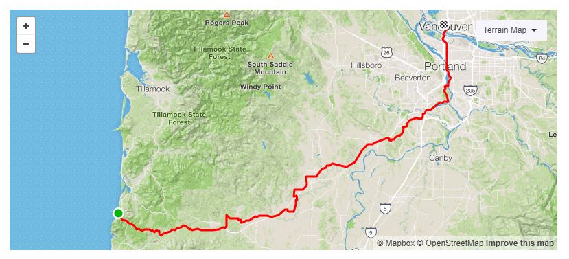
Strava spit out a route: 110 miles, 6200 feet of climbing. That’s a strong ride, but not stupid, especially with relatively little climbing over that much distance. The plan worked surprisingly well with the family schedule. I would depart early on Wednesday and arrive mid afternoon for a family taco party dinner in Vancouver. Any ride with Mexican food waiting at the end of the ride is bound to be a good ride, right?
It rained almost non stop on our first couple of days at the coast. Par for the course. And then something incredible happened. It stopped raining entirely – for a long time. I woke up the morning of the ride to find crisp, clear, beautiful conditions outside. It was nippy at 37 degrees (F) but that was about 20 degrees warmer than what I was commuting to work in Monday through Friday in Denver. Warm and cold are relative sensations. I unboxed and dialed in the bike. For some reason I wiped it down and cleaned Denver commute scum off of it. This was a pointless exercise as it would be covered in Oregon Coast road scum within a mile of departure, but I like my bike and I like to look at it clean.
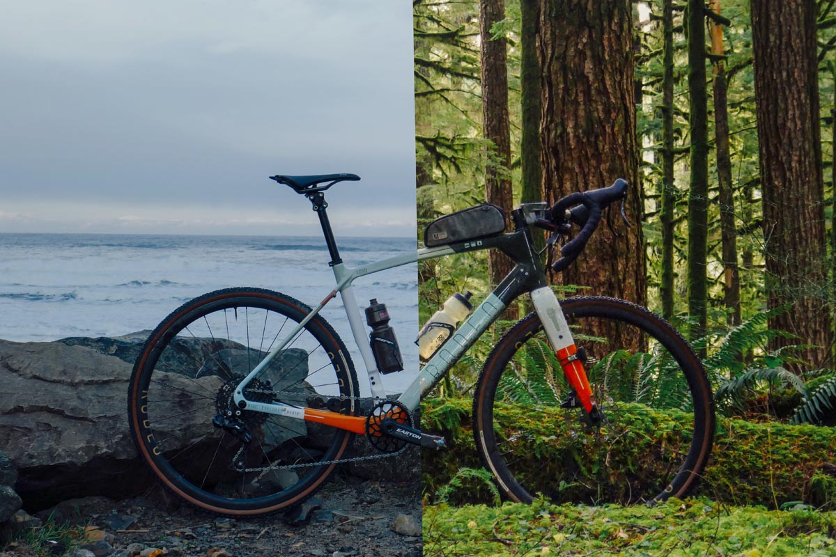
I kissed the family and struck off. The road was wet. Thanks to high humidity the lack of active rain in Oregon doesn’t necessarily mean that anything is dry per-say. The wetness was manageable though and I intentionally left the rain jacked in my duffel bag at the house in an act of semi-denial. I wanted to ride with as little clutter on my body and bike as possible. I wanted that sensation of just me, a simple bike, and the road that is so common in warm dry summer months and so uncommon in wet, cold, layered, fendered winter months.
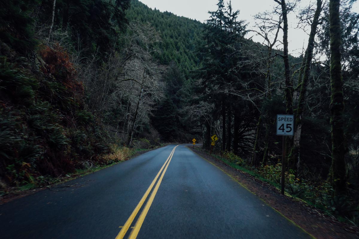
Riding long distances is an exercise in mental austerity. If you think too much about the day ahead, time, and the distance that must be covered the day will never pass and you will never arrive at your destination. In order to pass long miles it is best to clear your head, forget about time, and resolve yourself to the simple act of pedaling indefinitely. I switched my Wahoo screen from distance, speed, heart rate, and watts to the map page which showed no data other than dotted lines. Visual austerity is best paired with data austerity.
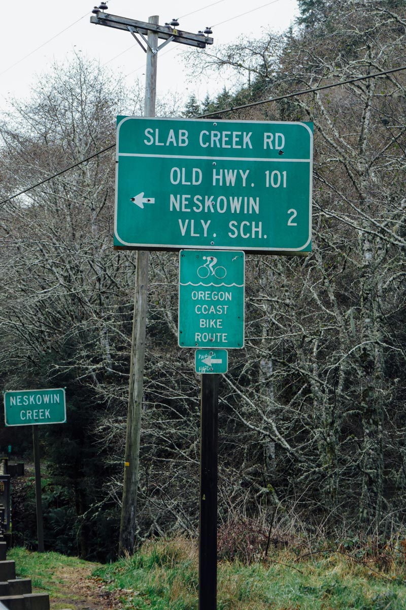
I rode up a beautiful creekside road into the coast range. Traffic was non-existent for the first ten miles save for a single modified off road Jeep which was desperately looking for a Forest Service or logging road gate left accidentally open. Jeeps to logging roads are what pigs are to mud. Unlike the free range unrestricted logging roads of my youth it would seem that the modern default is to now gate and lock access to those same mountain byways. This sucks for Jeeps but is great for adventure cyclists. Once you cross an Oregon logging road gate you could ride in solitude more or less indefinitely. That’s a lovely thought.
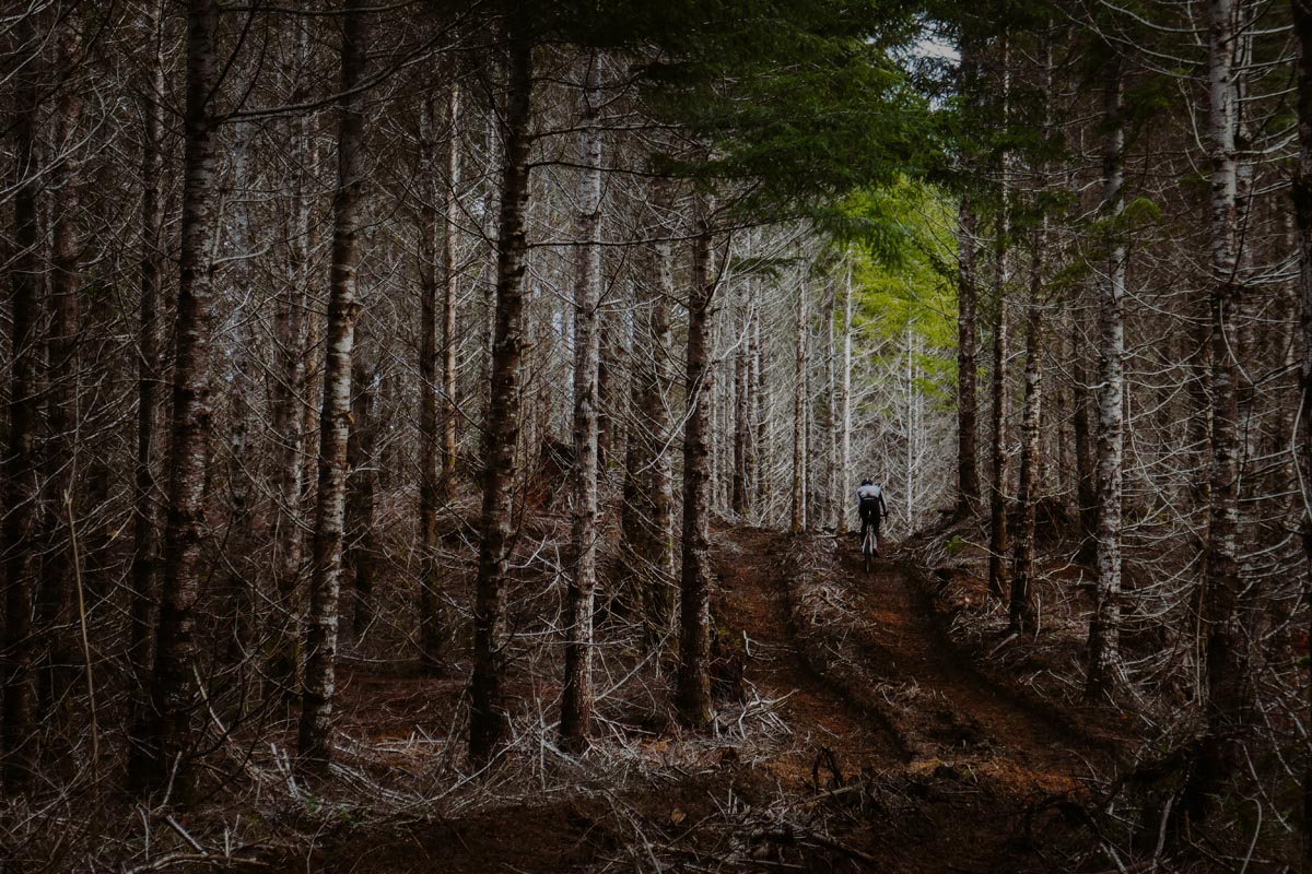
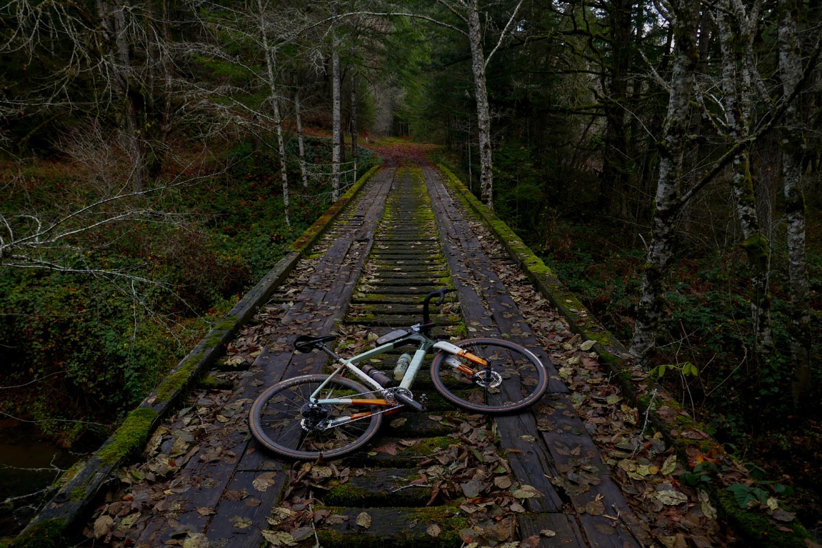
I rode in solitude for a while until I decided that I had earned a peek at my ride stats. I had covered about ten miles. 100 miles to go. My map screen had been ignored because the road I was on had no turn-offs, but when I looked down at my screen to check the map the little dotted line indicating my intended route was nowhere on the screen. I was 10 miles in and totally off course. I think it takes special skill to get lost on a road with no turn-offs. I congratulated myself. Then I had a thought: Were there turnoffs that I had missed? I knew that no paved roads intersected the road I was on, but maybe Strava had tried to send me up a gated logging road and I had missed the indication? Answer: Yes. At the very spot where I had stopped to take photos of a nice hairpin turn bridge, a small road I was supposed to turn on had gone un-noticed by me. Lesson learned: pay attention to the dotted line on the screen when riding in Oregon.
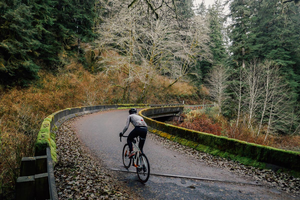
I made some course adjustments and re-gained the original route which put me on Highway 18 near Otis, a town consisting of some houses, a post office, and a burned down restaurant trying to rebuild with a Go-Fund-Me.
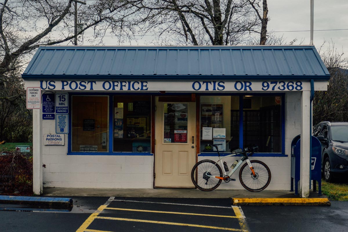
Highway 18 is a fine enough route, but after spending so much of the year off the beaten track I didn’t warm quickly to that familiar road biking sensation of cars buzzing by at 60mph mere feet to the left of me. It turns out I’m rusty at road biking. Distracted motorists scare me, probably because of the fact that if I’m honest with myself I’ll admit to being a distracted motorist myself. I longed for a quiet b-road and relative safety. On my map screen I noticed that the dotted line of my original route would soon re-intersect the route I was on, but via a road that paralleled Hightway 18 by a few hundred feet. Perfect! I had visions of a quiet paved or gravel road following a creek for 10 or 20 miles as I road towards the Willamette Valley and McMinville. The problem was that I couldn’t find a road that linked the highway that I was riding with the dream road that must be just through the trees. A turn off left to a dead end in Van Duzer state forest. I few hundred feet down the road I spied one of those gates. I crossed it and the road turned to gravel and mud. A few hundred feet later I intersected my route at a four way gravel intersection. To the left was a nice gravel road. Straight ahead was a nice gravel road, and to my right was the intended route and a more primitive gravel road leading up a steep hill. I did some quick math. I had 90-100 miles left to go before tacos and I was not making good time at all. Between getting lost and stopping to take photos this was looking more like a 10mph average speed ride than the necessary 20mph average speed ride. Adventure called on that gravel road but reality called louder. I need to cover some distance so I flipped it and road back to Highway 18.
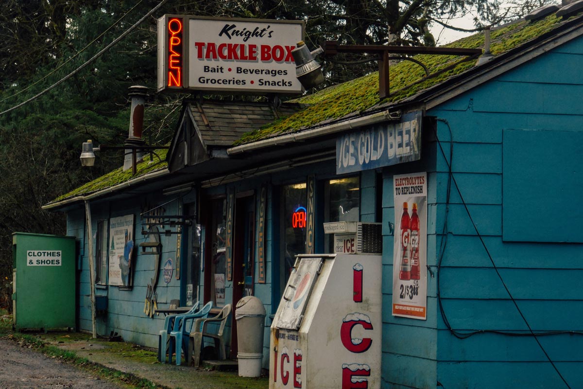
My pace picked back up to what it needed to be. Despite the gradual rolling hills I was cruising, a fact I owed to having Colorado altitude lungs in sea-level Oregon. But hey, if Oxygen doping is what it would take to get me home in time for dinner I was fine with that.
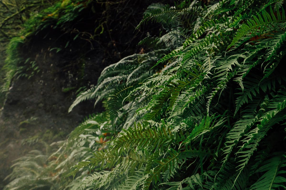
Tens of minutes passed and I watched the deep, mossy, dark forests of the Oregon coast range pass by. These weren’t my exact home forests but they felt like home and the wet air was thick with familiar emotions and memories for me. I knew these smells so well. The abundant ferns felt like something I had last seen yesterday not a decade ago. The moss was so constant, like a blanket coating absolutely everything that didn’t move and even some things that do. I couldn’t ignore the forest and that dark road that I knew was still paralleling the highway. I saw another gate and this time I said progress be damned. I wanted to see what secrets that road held. I crossed the gate.
Fifty feet later I was on another planet. Behind me was the muffled chaos of holiday traffic on Highway 18, and in front of me was a pristine, moody, emerald forest. Instead of a red carped leading through it there was a perfect doubletrack of gravel that rose up the ridge and disappeared around the bend. I rode back up to meet the dotted line on my GPS that I had been avoiding. Dear gravel road: I’m sorry I cheated on you with Highway 18. I’m back.
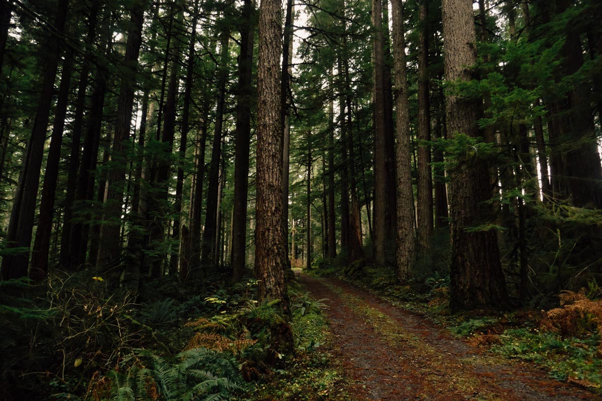
I rode for a while and stopped way too much to take photos. It was impossible not to. This forest! It was overwhelming. Colorado has fantastic mountains but it is more or less a desert for much of the state. Colorado in December has zero green. ZERO. I’m exaggerating. There are pine trees but even then our pine trees are dull and Oregon pine trees are GREEEEEEEEEN. Oregon coastal forests are that photo you see on Instagram where the person who posted it took the saturation dial and ramped it to 200%. One look at the photo and you say to your self “Oh come on, so fake! Those colors don’t happen in nature”. But in Oregon those colors happen in nature, they’re real, and for a color starved Coloradan it feels like aloe vera on the pupils.
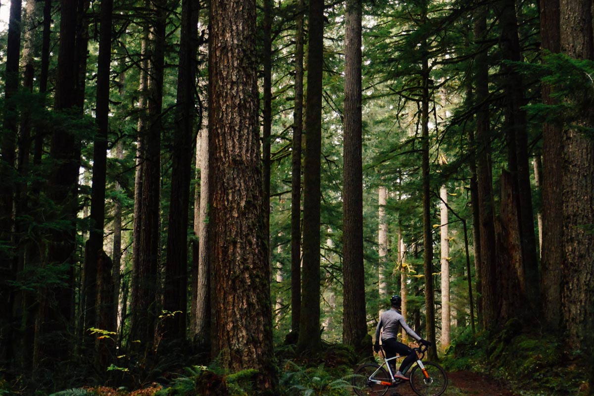
I rode for a while entirely happy. The speed was back down in the “not gonna be home for dinner” range but my excitement was through the roof. I paid closer attention to the dotted line on my screen and noticed that it didn’t exactly match the road I was on. The two would intersect then diverge then intersect again. This wasn’t a concern until the road on the map kept going but the road in real life quite simply terminated in endless forest. I had hit a dead end that wasn’t supposed to be a dead end. I flipped around and went back to an intersection I had seen. Maybe I needed to take that road, and I did, but that road quickly got very primitive so I turned back around again and took yet another road I had seen. That road was wonderful until it too became not-wonderful and ended in muddy bulldozer tracks and chaos. Oregon was messing with me. The words of friend and Donkey owner Dewey Nelson came into my head. He actually lives not far from where I was riding but was unable to join me on the ride. He had remarked that no map of the Oregon Coast range could be trusted and that to venture into those mountains was to venture into a day of guaranteed geographic uncertainty. Dewey was right and I wasn’t sure what to do. Highway 18 was never far away but to turn back no felt gross. I wanted to stay in the woods even if it meant getting a little bit lost. Tacos seemed iffy at this point.
I went back to the first road I had tried and even though it was incredibly sketchy looking it at least appeared that it might continue East in the general direction that I needed to go for a while. I took it, the road held true. As I rounded a bend in the trees a view unfolded in front of me that made me gasp. On either side of the road were tall pine trees but down the middle where the “road” was was a grassy cut seemingly looking as if it had been made by a colossal hair trimmer. This forest looked nothing like the wild, un-tamed forest I had been in 1000 feet back. It felt like I had teleported to a different, more orderly ecosystem in some Scandinavian country.
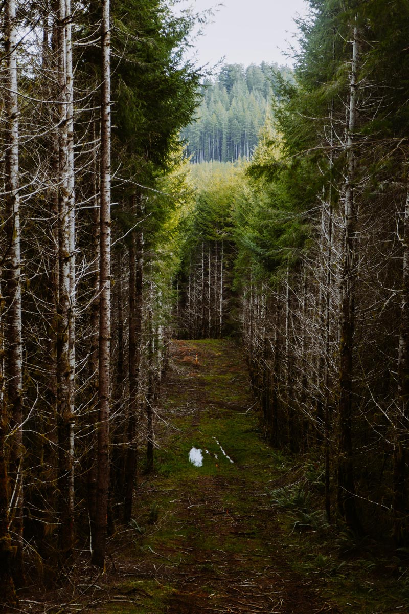
The road was in fact too steep to ride so I walked for a while. Then I rode again. Then I walked again. Nothing was flat. There was only up, down, up down. I was in fact having a blast but this was no way to cover distance so I regrettably looked for a way back down to highway 18. My Wahoo showed a dotted line back to the road. I intersected it and followed it until it too abruptly dissolved into yet more forest. Stubbornness set in. “Oregon I like you but you’re in my way and I’m going this way whether you like it or not.”
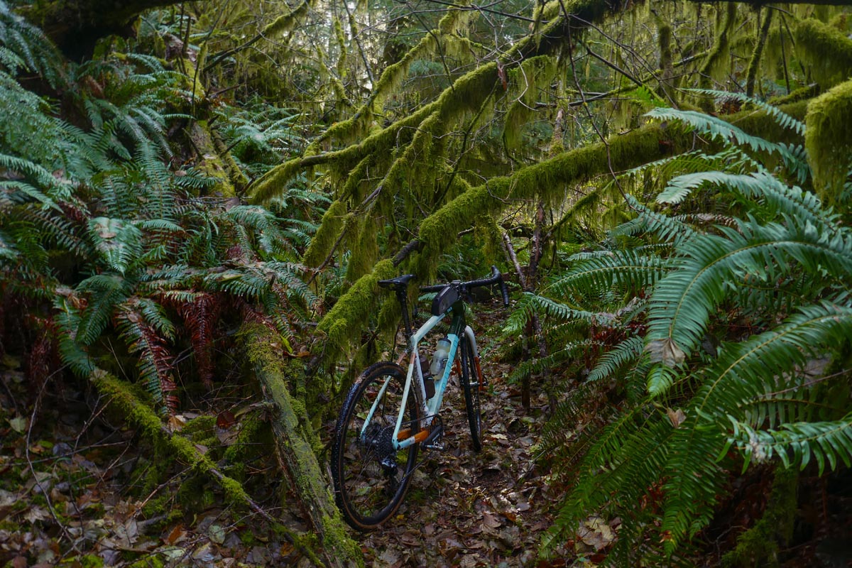
I plunged into the trees with my bike. Mossy branches and young saplings reached out and grabbed my bars but I was able to sort-of ride by Braille and feel out the remains of what had long ago been a road bed. I followed it. Pink ribbons appeared on the trees and I followed those. The road was no road at all but I enjoyed how hilariously ridiculous the entire situation was. I began to hear the sounds of highway 18 again as I bushwacked towards it. Finally the forest let me go and I was reunited with blacktop. I was probably only on forest logging roads for four miles or less but in those four miles I had seen more lush, green, beautiful forest than I had in the rest of 2019 combined. Oregon had flexed. Well played.
Back on the road only one thing was on my mind: Forward progress. I was nowhere relative to the duration of the ride, twenty seven miles covered out of one hundred and ten total. The pavement felt nice. The weather was great. I put my head down, ignored the proper route on my screen, and plowed north-east towards Portland. Every once in a while I would feel a pang of doubt and missing out on the side roads and forest. Each time I detoured back to the planned route I was greeted with more beautiful sights and more of that sense of discovery that I love. I was also greeted with more disappearing roads and more dead-ends, so back to highway 18 I went.
Around mid day the wind kicked up in the Willamette Valley. I pushed and it pushed back. At first it was mild and mildly challenging but as I passed to Willamina and Sheridan and into open farm lands the wind became utterly unforgiving and very discouraging. 20 mph average? Ha! Not nearly. I was struggling to push 14mph on the flats. Morale dropped a fair bit. For a while the ride was a simple study in endurance and how to pass time. I felt like I was taking my vitamins though. I coached myself that the Atlas Mountain Race would be infinitely more difficult than this single one day outing, so I’d better suck it up and beat the headwind if I wanted to prove to myself that I deserved to even line up at that event in a couple of months.
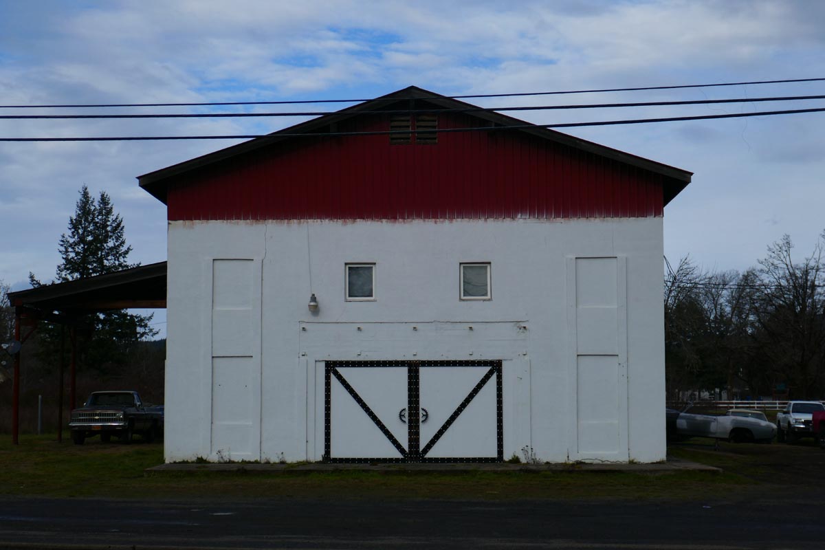
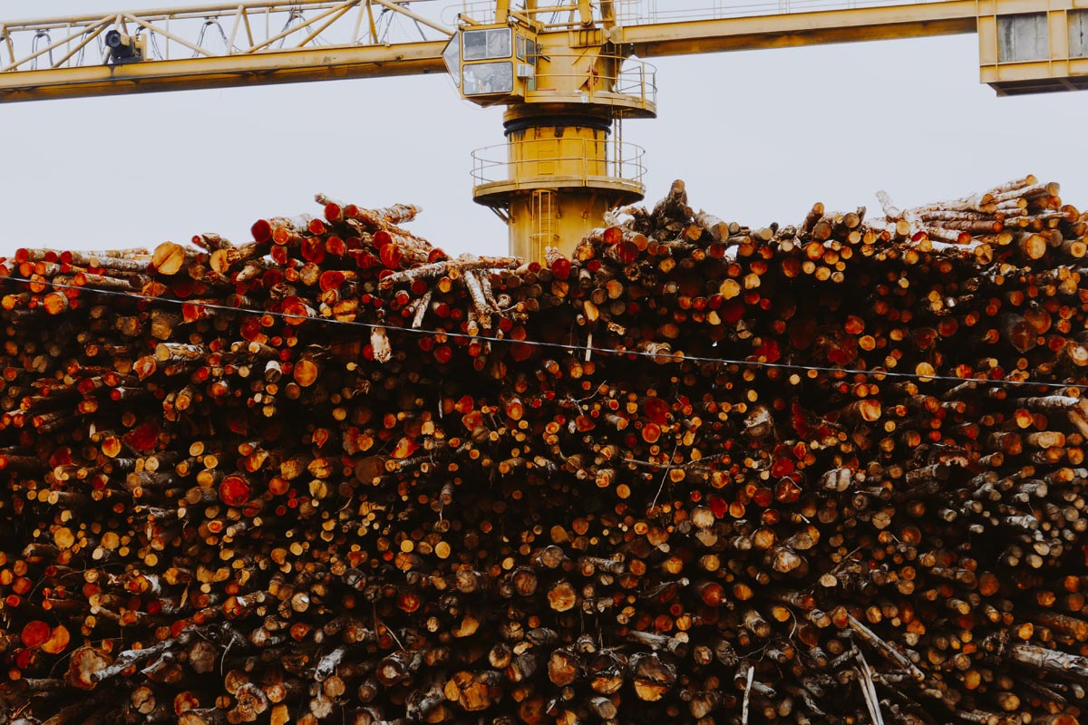
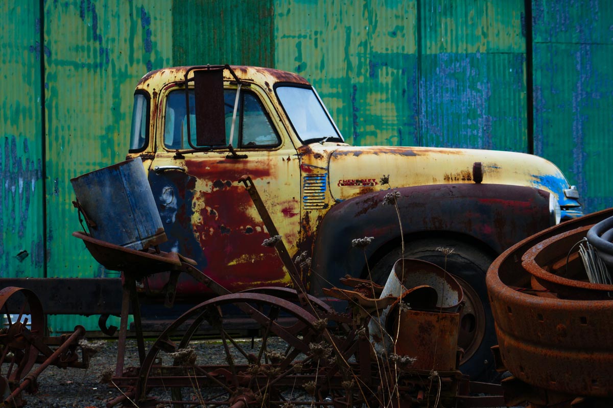
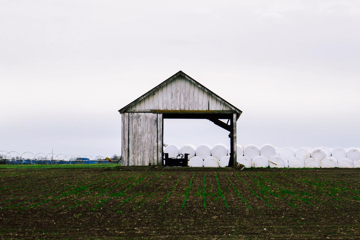
I arrived in McMinville at long last. Sixty four miles and over six hours into the ride. Clearly my dinner plans were in all but roasted. I grabbed two Snickers and a fake Coke. One Snickers went into my mouth, one into my top tube bag, and the fake Coke went into my water bottle. I needed to eat on the move. Traffic picked up as I continued towards Newberg. Oregon Wine Country greeted me. Street signs were almost outnumbered by sign posts pointing to various world class wineries and tasting rooms scattered across the hills and valley. The depressed logging town vibes near the coast range were replaced by wine country money vibes. Houses and buildings looked increasingly tidy. Freshly minted wineries and rows of grapes sparkled and made me wish for a heated car, my wife, 8 hours, and a babysitter. I could kill a few days out here living a life of leisure for sure!
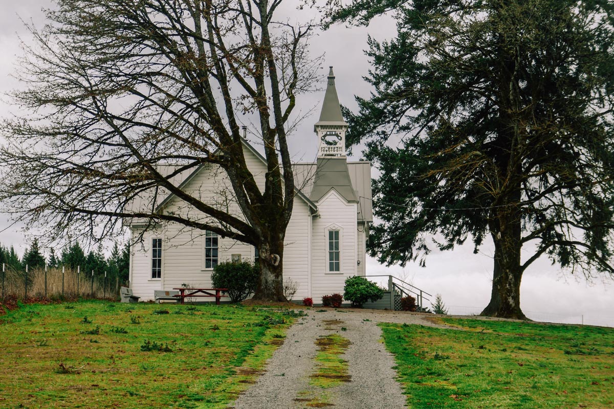
I passed the empty remains of a Radio Shack. The sight of the bold red logo as I passed was so jarring to my brain that it didn’t immediately register where I had seen it until I was a few blocks down the road. When I did remember I had to go back, soak it in, and take a photo. There it was, that logo I had seen so much in pro cycling a decade or so ago and had swirled so much around one of the central controversies in cycling in the modern era. It was striking to me in that moment how neither Lance, nor that Radio Shack cycling team, nor even road cycling in general were now what they once were. Times have changed and although pro cycling is still a big-deal thing it isn’t as much a thing for me anymore. I just don’t pay much attention to it. A large percentage of my friends feel the same. Adventure, exploration, and riding for discovery; these are things that have taken over my life and displaced the yearly well monied competition to find out who can ride across France the fastest. I felt like I was looking at a family photo album when I looked at that logo, and that I had discovered a photo of a relative that I had forgotten existed. I’m not sure I missed that relative anymore, but maybe I missed missing it.
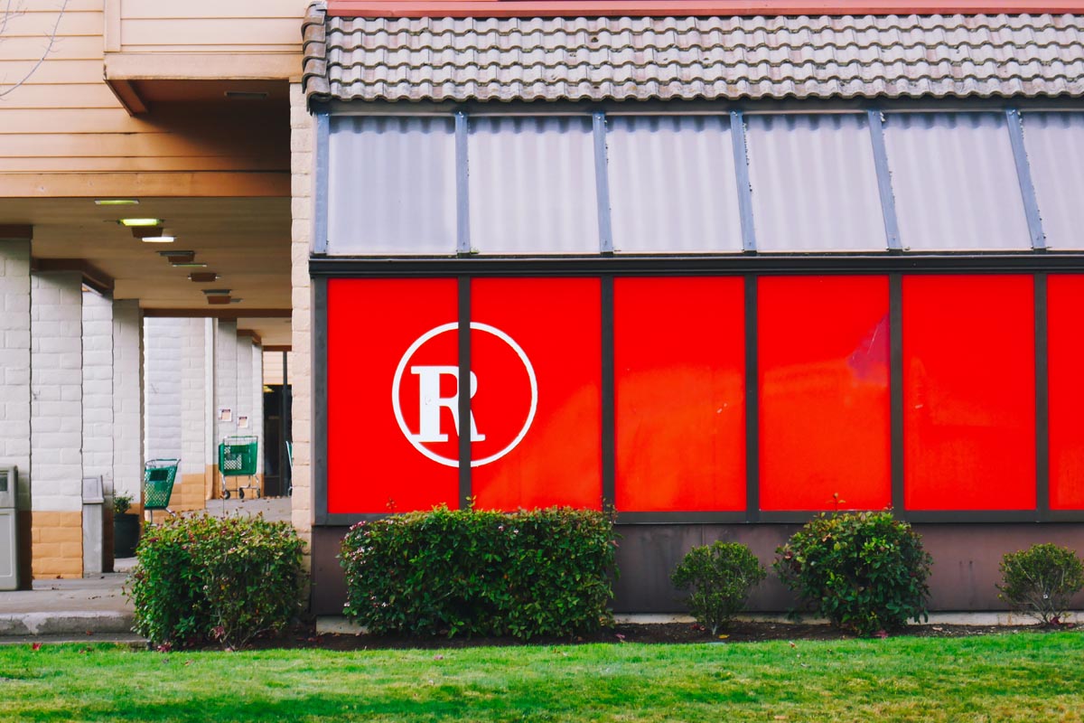
Continuing on: My present situation, while also technically one of leisure just the same as wine tasting would be, wasn’t extremely enjoyable and was about to get more difficult. Instead of popping over a small hill into Sherwood the route chose for me more climbing. Strava’s “popular” feature routed me up and over a huge lump of dirt, wineries, horse farms, and pine trees called Parrett mountain. Any sort of climb this late in the day didn’t sound enjoyable to me and I considered once again ditching the planned route and coasting down the highway into Sherwood. But once again the thought returned to my head. If I couldn’t make it over a 1000 foot climb then I had no business going to Morrocco. Up I went.
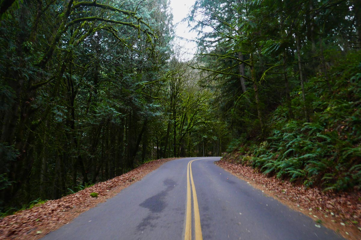
Instead of being difficult and miserable I found Parrett mountain to be a meditative climb and a welcome return to the curvy, shaded, emerald forest roads that I loved. The summit soon came. The views were fantastic. I had spent twenty-something years of my life growing up not far from these hills yet I had never heard of Parrett mountain much less ridden it. That fact felt like a searing indictment against my imagination or lack of thereof when I was younger. Why is it that just now the cycling world has sized so passionately on themes of adventures, exploring, and of bikes that go wherever you want to take them? Why have we only recently woke as a mainstream cycling culture to this sort of experience? Maybe watching our Pro Tour heroes fall one by one to doping charges was one of the greatest gifts the Pro Tour ever gave us. Once we stopped trying to model ourselves after them, to be faster at all costs, we were allowed to slow down long enough to notice that we are surrounded by a wealth of geography and experiences that are bikes can transport us to, and that the long slow roads through Oregon or any place that we find ourselves can be ways to find deeper more sustainable themes in the sport than competition itself. Or maybe I was just really tired and my mind was wandering.
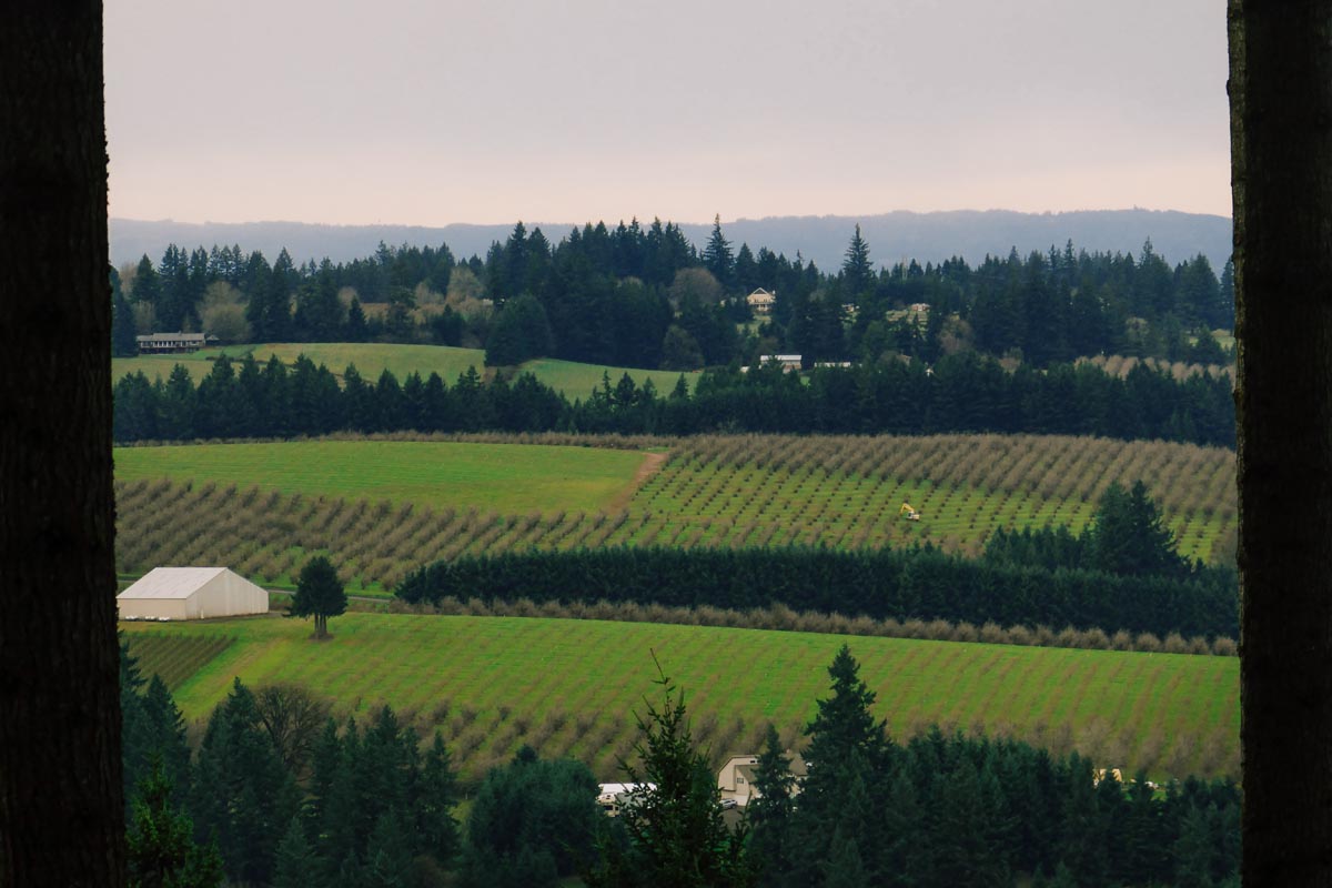
Sunlight was fading. I descended into Sherwood then Tualatin. These were localities I was familiar with from long ago when I was an apprentice finish carpenter hanging doors and windows throughout the area. Hills and street names became more familiar. I longed to reach and cross the I-5 freeway which was a sure sign that I was near to Portland itself, and then Vancouver, and then maybe tacos if there were any left. I-5 came and went, Lake Oswego with it’s posh lakeside homes and dignified forested villas twinkled in the night. The sun had gone and the headlight that I had brought just in case was now my lifeline through the night.
I rode in silence towards and down River View cemetery. I had never been here. I had never seen it’s huge hewn headstones and monuments to Portland’s elite that had long since passed. After it was all said and done these were the final testaments to achievement (or lack thereof) that many of these people had left behind, the only reminder to someone like me that they had ever existed at all. I wondered to myself if I saved up enough money and built myself a monument here after I died that people in a hundred years would think that I had also been successful or that my life had added up to something significant. I guess nobody wants to be forgotten, rich or poor.
The arrows in my headlight pointed guided me through the maze of roads down towards the Willamette river and Sellwood bridge which glowed dazzlingly in the night. (Did they rebuild the Sellwood bridge?). I found my way onto the Springwater Corridor and was greeted by waves of commuters exiting downtown Portland by bicycle. Portland is very proud of its bike commuter culture and ought to be. It made me happy to see a path so well used. I shielded my bright headlight as each rider passed, hoping not to be that a-hole-with-the-retina-searing-headlight that everyone complains about in the comments section of Bike Portland’s blog.
OMSI, then downtown. Finally. I stopped for a photo of the Portland skyline and remarked to myself how many new buildings there were since I had left, especially through the John’s Landing area. I had never ridden this river bike path when I lived here, but this felt like a fitting first time.
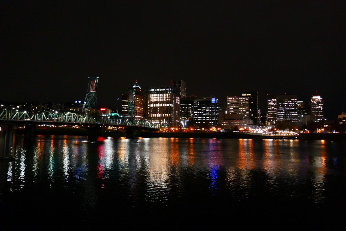
North Williams and North Vancouer avenues took me those final 10 miles home. I merged again with bike commuter traffic and watched the interplay between the slow commuters in no rush to get home compared to the frantic commuters weaving in and out of traffic. My legs were tired but not destroyed. These last miles felt so good. I knew that I would make it home without difficulty and even though the ride was almost over I no longer wanted it to end. Neskowin to Vancouver had been so refreshing to me. I needed a new ride through new mountains on new roads, even if none of it was entirely new to me. I needed to get a little bit lost, I needed to get a little bit discouraged, and I needed to push through the other side of it just to know that I could.
I rolled up to my sister’s house and stood by the curb for a few minutes. I looked at the GPS. I had gone 120.1 miles instead of 110. Getting a little bit lost had made the day 10 miles more awesome. Those 10 miles had been the best miles of the ride. The deep forests, the moss covered bridges. The logging camps, the farms and old churches. Those were the moments worth stopping to take photos of. This time I could definitely say to myself that I wasn’t taking photos to brag, I was taking photos in order to attempt to pass along moments that I had found beautiful. I wasn’t featuring Colorado and showing it off to the rest of the world. I was in someone else’s back yard this time, exploring the wealth of other people’s mountains, and getting excited about the idea that no place has a monopoly on exploration and adventure.
All roads lead to lost if you stay on them long enough. If you’re having trouble getting there yourself put a pin in the map at your starting point, then put a pin in the map somewhere you haven’t ridden to before. The only thing left to do is enjoy everything that happens between the start of the ride and the finish.
I did make it home in time for tacos, except it was tortilla soup not tacos. Delicious either way.

2 Comments
Thanks for spending the time writing this up, it felt like I was right there with you!
Oh man, I don’t even know where to begin. What an inspiring read. I grew up in Portland and at the coast and my heart hurt reading this both because it makes me miss Oregon so much but also because of the vision quest-like ride you had. I would’ve loved to have been there but more glad you were able to do this on your own. I knew almost every place you were describing including the final push to Vancouver as my parents now liive there.